
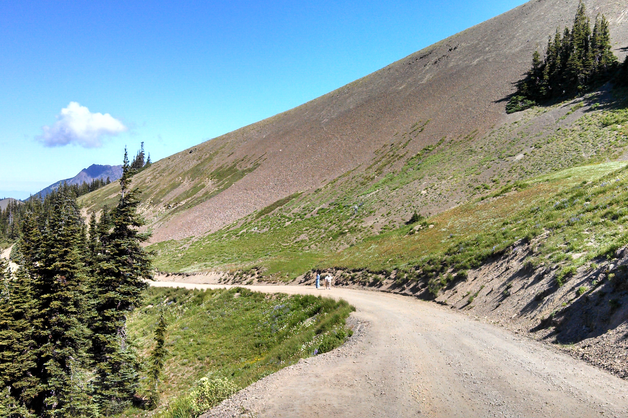
Deer Park and Obstruction Point are the two high road ends of the northern Olympics, each reached by a narrow gravel mountain road. Obstruction Point sits about eight miles east of Hurricane Ridge, and Deer Park lies at the far end of the ridge beyond it. A high trail along Grand Ridge links them, and both roads open only for part of the year.
Quick answer
Can you drive to Obstruction Point and Deer Park?
Yes, in season. Obstruction Point Road runs 7.8 miles of narrow gravel from Hurricane Ridge, and Deer Park Road climbs 18 miles, the last 9 gravel. As of October 2026 the park lists both open, neither suitable for RVs or trailers. Snow closes them each year, so check the NPS road conditions page first.
- No RVs or trailers on either road
- Obstruction Point Road: mid-June through October 15, weather permitting
- Deer Park Campground: 14 tent sites at 5,400 feet
- Grand Ridge trail links the two in 7.4 miles
Obstruction Point Road and Deer Park Road compared
Both roads are slow, steep and unpaved where it matters. As of October 2026, the NPS current road conditions page lists both as open. Conditions change quickly up high, so check that page before you go.
| Road | Obstruction Point Road | Deer Park Road |
|---|---|---|
| Starts at | Entrance to the Hurricane Ridge parking area | Highway 101 |
| Length | 7.8 miles from Hurricane Ridge | 18 miles, the last 9 gravel |
| Surface | Gravel, narrow, winding, steep in places | Gravel, narrow, windy, numerous blind corners |
| Vehicles | Not suitable for RVs, trailers or buses | Not suitable for RVs or trailers |
| Season | Mid-June through October 15, weather and snow permitting | Closed at the park boundary from late fall until melt out in late spring |
To reach Obstruction Point you first drive the paved 17 mile Hurricane Ridge Road, which the park says may open or close depending on road conditions and weather. Our Hurricane Hill trail guide covers the ridge itself.
Driving to Obstruction Point
Obstruction Point Road branches off right at the entrance to the Hurricane Ridge parking area. The park describes it as its highest elevation road, running from Hurricane Ridge at 5,242 feet to Obstruction Point at 6,150 feet. The NPS trailhead page is blunt: the drive is “not for the faint of heart,” or for large vehicles like RVs and trailers.
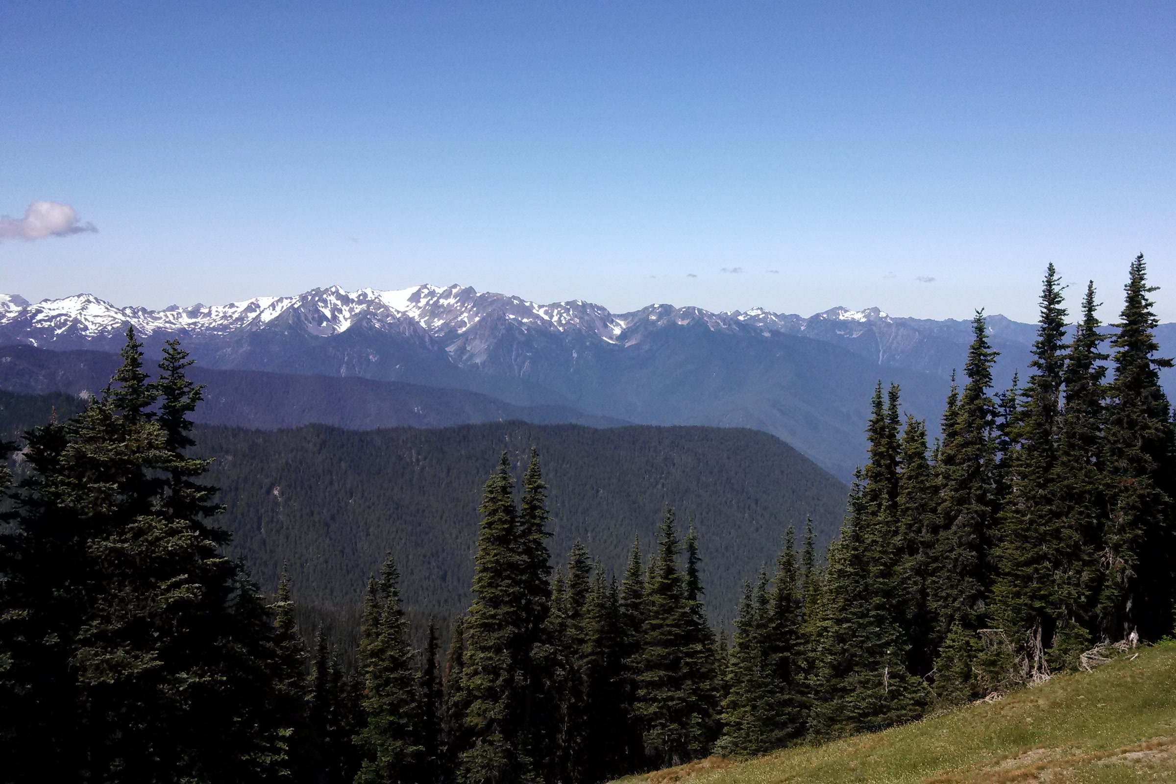
The same page adds that the breathtaking views are worth it. From the road end you can hike along the high alpine ridges or drop into Grand Valley. As of October 2026 the alerts page lists the road as open, and on the park’s usual schedule it closes after October 15.
Visiting Deer Park in Olympic National Park
Deer Park is reached by its own road from Highway 101. The park calls the 18 mile road narrow and steep with occasional turnoffs, and says its last 9 miles are gravel. From late fall until melt out in late spring, the road is closed at the park boundary, about 9 miles from the highway.
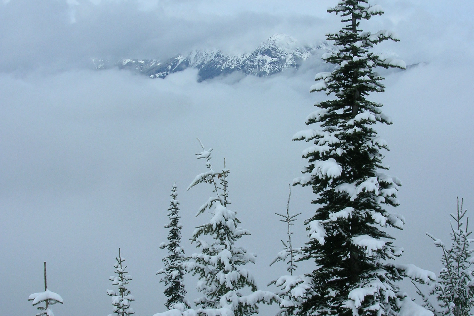
The park notes that a ranger station here is staffed intermittently during summer and fall. Pets and bicycles are not permitted on the Deer Park trails.
Deer Park Campground
At 5,400 feet, Deer Park Campground offers mountain views and starry skies. As of October 2026 the NPS camping page lists it open, with a season of June to mid-October that depends on road conditions and snow melt.
- 14 sites, $15 per night, first come, first served; self register at the campground.
- Tents only; the steep, winding gravel road makes it unsuitable for RVs.
- Fire pits, picnic tables, accessible pit toilets and animal proof food storage; no potable water.
- Firewood gathering is prohibited.
Our guide to Olympic National Park campgrounds compares Deer Park with the park’s other camps.
Blue Mountain and the Rain Shadow Loop
Above the campground, the park’s Rain Shadow Loop is a 0.5 mile loop to the top of Blue Mountain, with panoramic views of lowlands and mountains and about 170 feet of elevation gain.
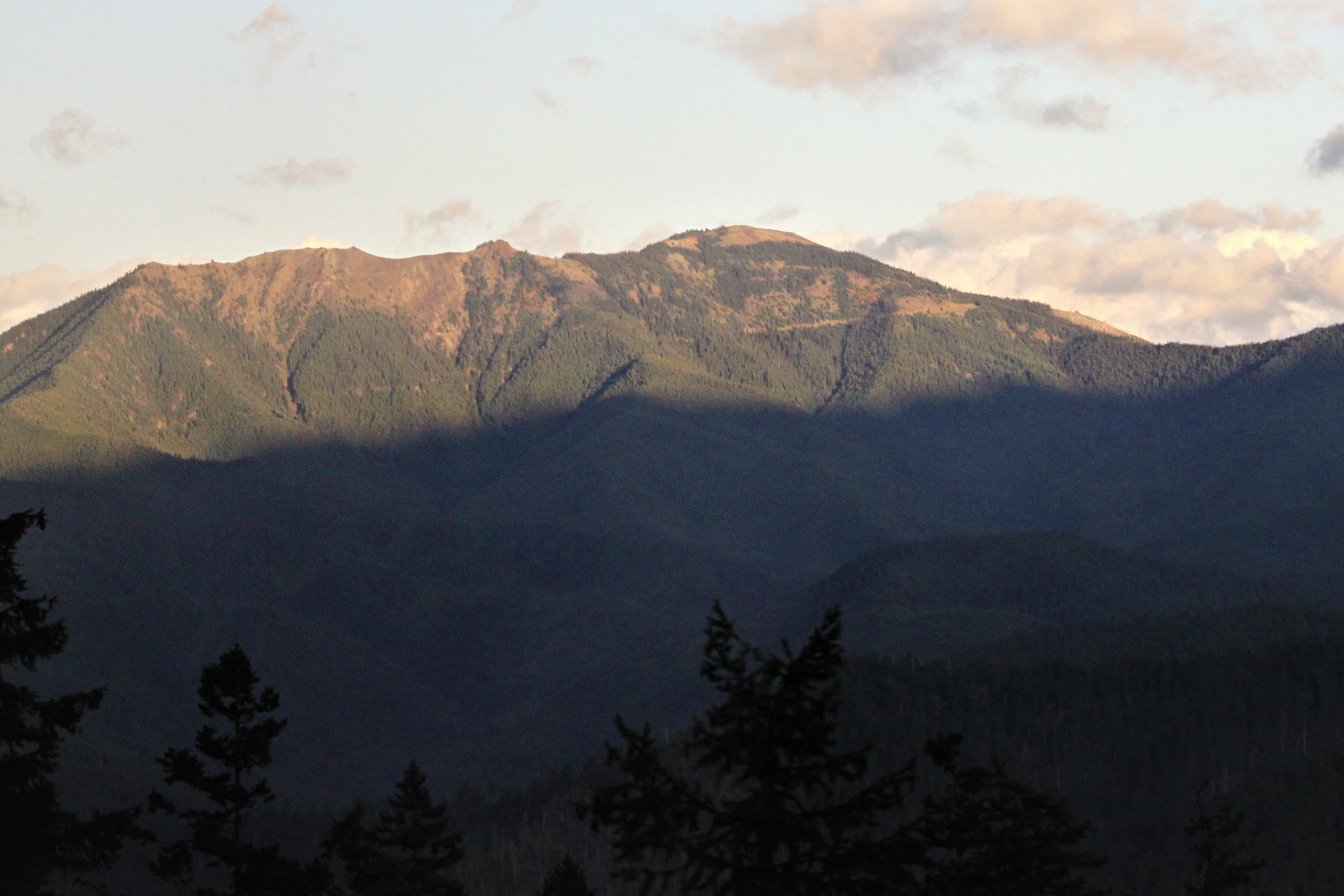
The park’s Deer Park brochure explains that during the last ice age, high peaks like Blue Mountain stood above the glaciers as islands in the sky. From the top you look over glacier rounded foothills, and the endemic Olympic bellflower blooms on the summit. Why this side of the range is so dry is the story of our Olympic rain shadow explainer.
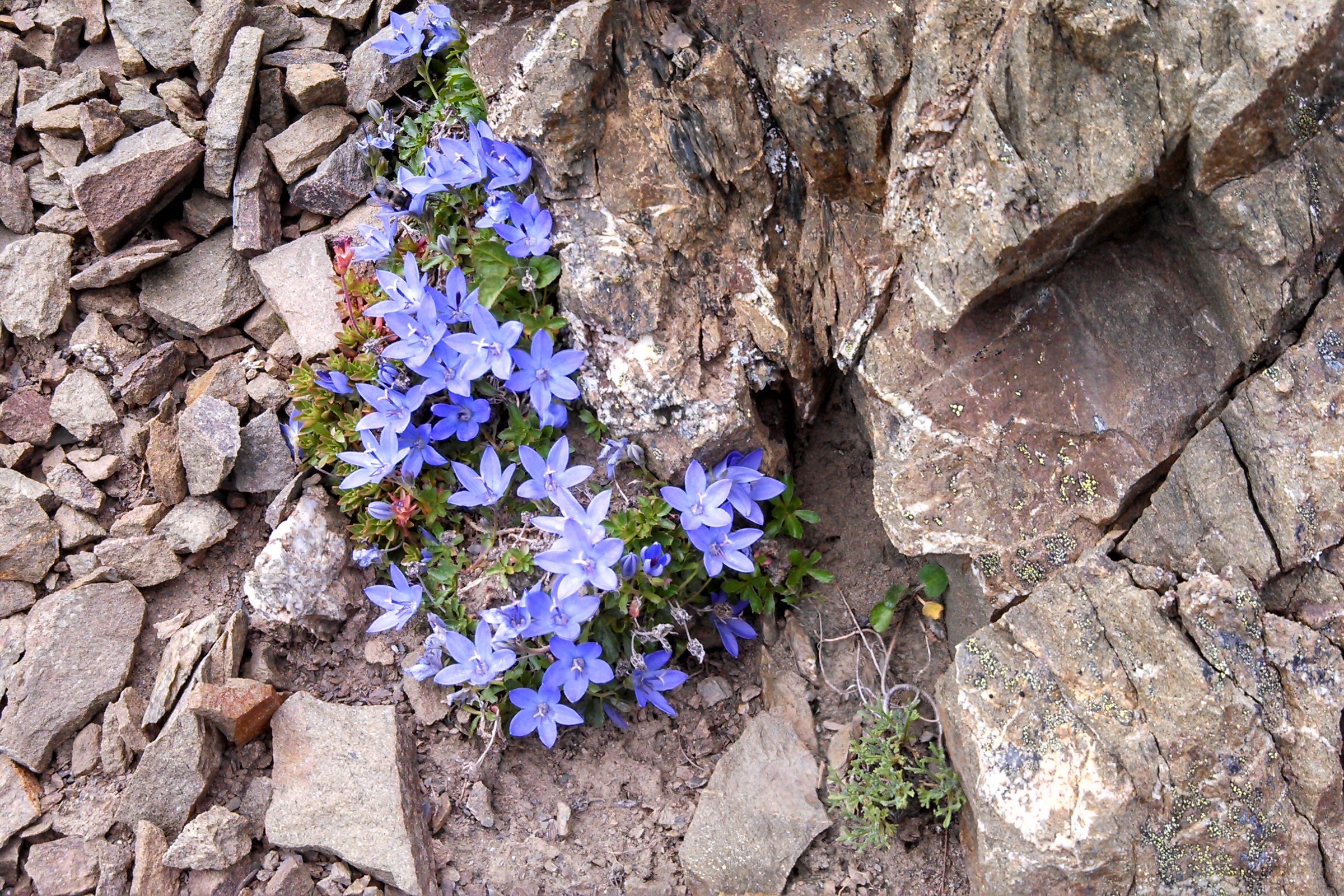
The brochure also notes that the endemic Olympic marmot, once common here, is now rarely seen, likely because of predation by non-native coyotes. Our post on the Olympic marmot at Hurricane Ridge tells more of its story.
The Grand Ridge trail from Obstruction Point to Deer Park
The park calls this route Obstruction Point to Deer Park, and its trail conditions page lists it as the Grand Ridge Trail. It runs 7.4 miles between 6,100 and 5,400 feet, rated moderate, with early July through October as the best season. The park’s brochure describes subalpine forests and mountain meadows along the way.
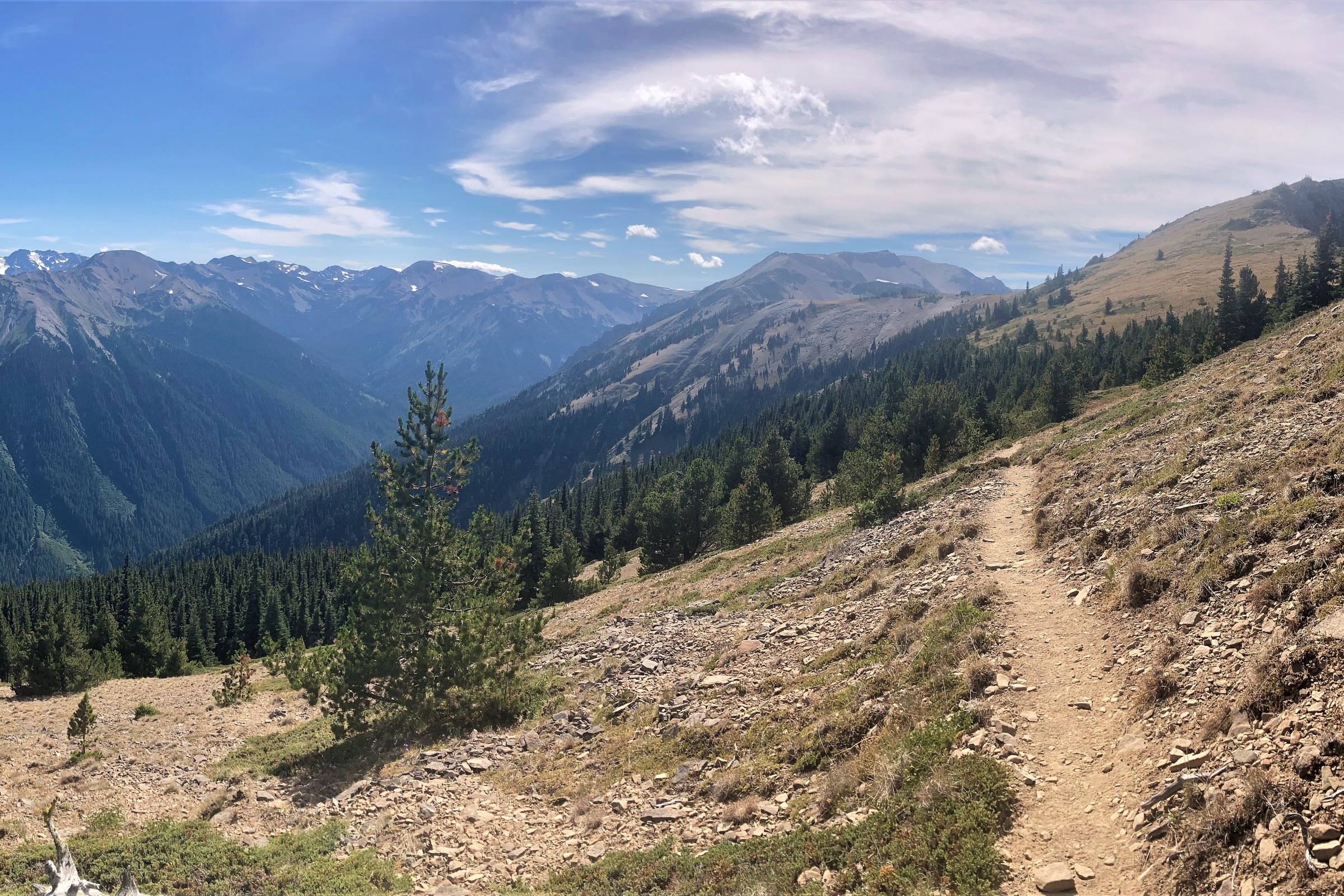
It is high, open and exposed, and the park’s warnings are worth reading in full:
- There is no water on the trail once the snow fully melts, usually around late August.
- Storms move quickly and whiteouts are sudden, so watch the weather before and during your hike.
- Map and compass skills may be necessary, and snow may cover higher reaches in any season.
- Campfires are prohibited, and so is hanging food or scented items.
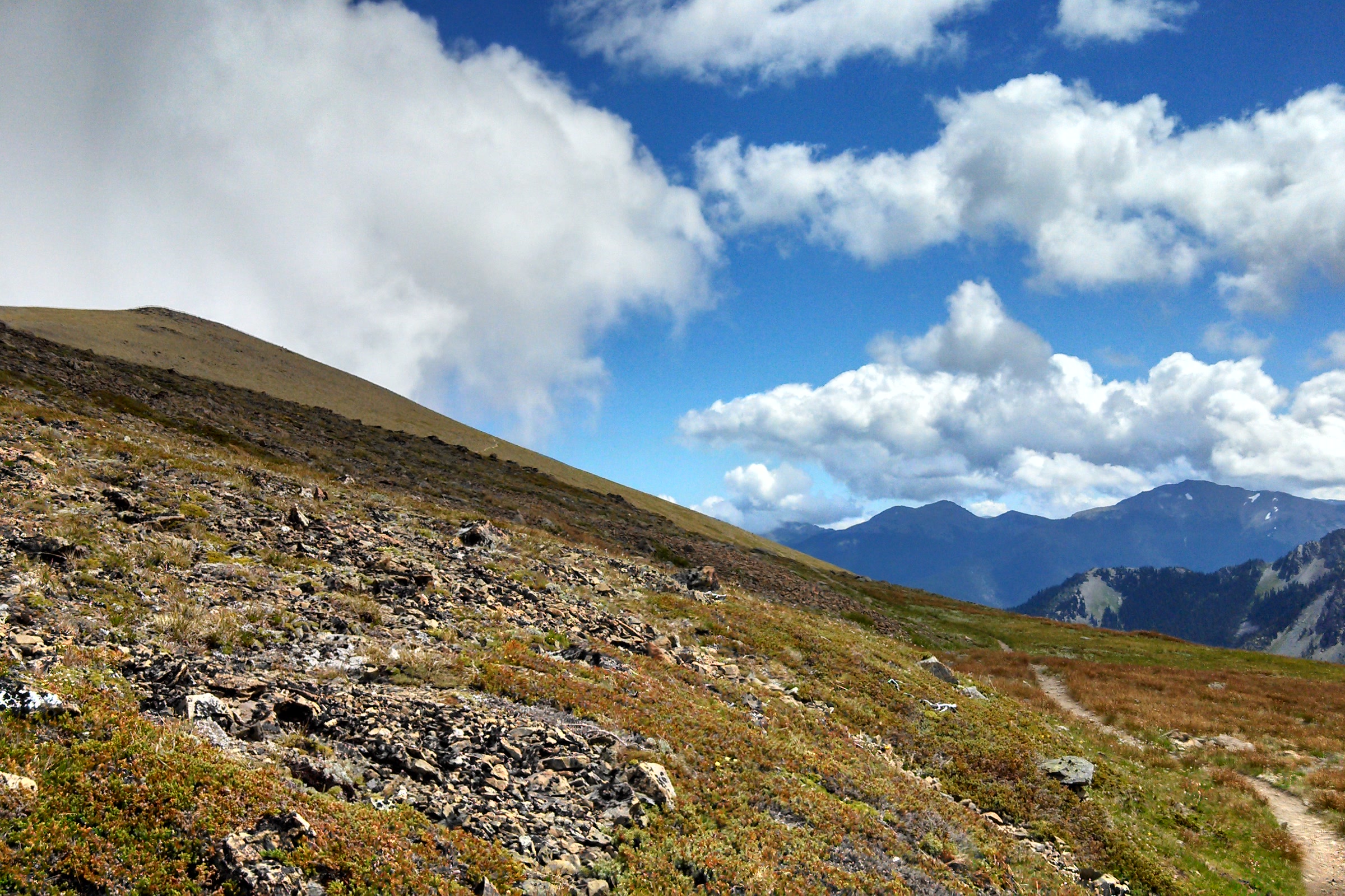
The WTA Grand Ridge hike guide adds that clear days bring views of Mount Olympus, the Strait of Juan de Fuca and the Cascades, with constant wind near Maiden Peak. Its one campsite, Roaring Winds, needs a reservation; our guide to Olympic National Park wilderness permits explains how.
Other Deer Park trails
| Trail | Distance | Climb or drop |
|---|---|---|
| Maiden Peak | 3.5 miles one way | 1,545 feet gain |
| Elk Mountain | 5.5 miles one way | 2,249 feet gain |
| Three Forks | 4.3 miles to the Gray Wolf River Trail | 3,416 feet loss |
Figures are from the park’s Deer Park brochure, which notes that Maiden Peak and Elk Mountain branch off the trail to Obstruction Point. For when to go, see our guide to the best time to visit Olympic National Park.
How Friends of Olympic National Park helps
We are Friends of Olympic National Park (FONP), a volunteer led friends group in Port Angeles. We run guided wildflower walks and other projects that help people know and care for the park. If the high country matters to you, become a member and support our work.
Frequently asked questions
Is Obstruction Point Road open?
As of October 2026 the park lists Obstruction Point Road as open. The park says it opens from mid-June through October 15, weather and snow permitting, so check the NPS road conditions page before you go.
Can you take an RV to Deer Park or Obstruction Point?
No. The park says Deer Park Road is not suitable for RVs or trailers, and Obstruction Point Road is not suitable for RVs, trailers or buses. Deer Park Campground is tents only.
How long is the drive to Obstruction Point?
Obstruction Point Road runs 7.8 miles of narrow, winding gravel from Hurricane Ridge, which is itself reached by the paved 17 mile Hurricane Ridge Road.
Do you need a reservation for Deer Park Campground?
No. Its 14 sites are first come, first served at 15 dollars per night, and you self register at the campground. There is no potable water.
How long is the hike from Obstruction Point to Deer Park?
The park lists the Grand Ridge route as 7.4 miles, rated moderate, between 6,100 and 5,400 feet. There is no water once the snow melts, usually around late August.
Leave a Reply