
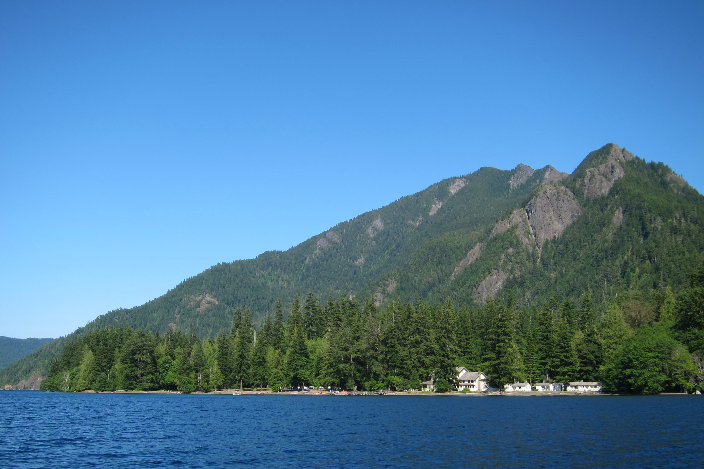
Mount Storm King is the steep, forested peak that rises straight out of the south shore of Lake Crescent in Olympic National Park. Its trail is short but hard, climbing through forest to viewpoints high above the lake. Here is what the park says about the route, the upper section and the ropes you may see there.
Quick answer
How hard is the Mount Storm King trail?
The Mount Storm King trail is rated difficult by the park. It branches off the Marymere Falls trail near Storm King Ranger Station and climbs about 2,000 feet in roughly 2 miles. The maintained trail ends at a signed point; beyond it the park warns of exposed, steep ground with loose rock and unsafe ropes.
- Starts at Storm King Ranger Station on Lake Crescent
- Day use only; camping on the route is prohibited
- Ropes past the sign are not installed or maintained by the NPS
- The park lists May through October as the best season
Where the Storm King trail starts
The hike begins at Storm King Ranger Station, the historic log building on the south shore of Lake Crescent. The park opens the station in summer as staffing allows, and as of October 2026 its alerts page lists it as closed for the season. Please check the NPS page before you go.
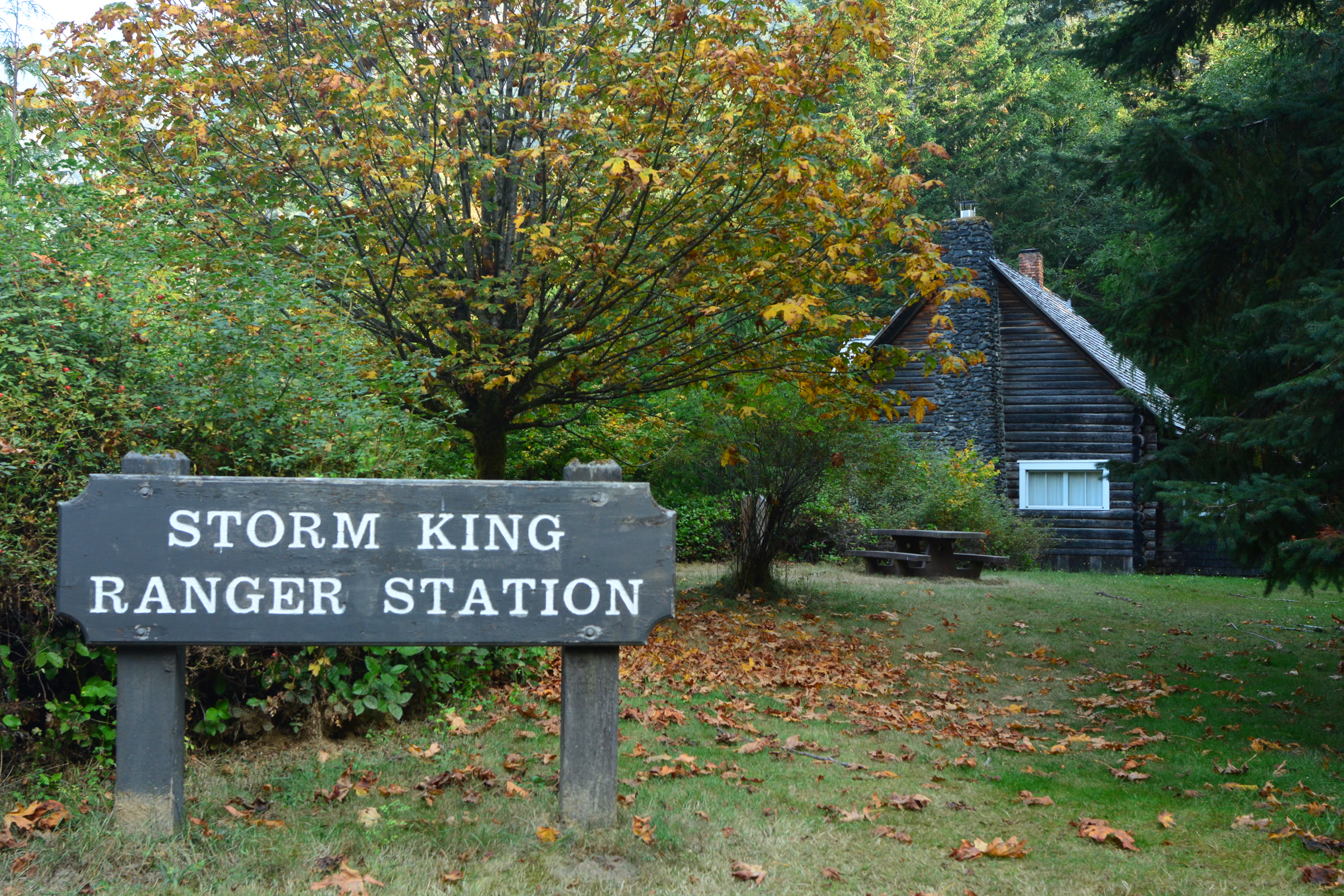
From the station you follow the Marymere Falls trail, which passes under Highway 101 and heads into old growth forest. Our guide to Lake Crescent in Olympic National Park covers the lake itself, and our Olympic National Park waterfalls guide describes Marymere Falls, so we won’t repeat them here.
The climb up Mount Storm King
The NPS trailhead page says the Mount Storm King trail branches off the Marymere Falls trail and switchbacks up 2,000 feet in 2.2 miles, calling it “an intense, steep ascent.” Washington Trails Association’s guide notes a large boulder and a sign at the turnoff, where the path doubles back sharply uphill.
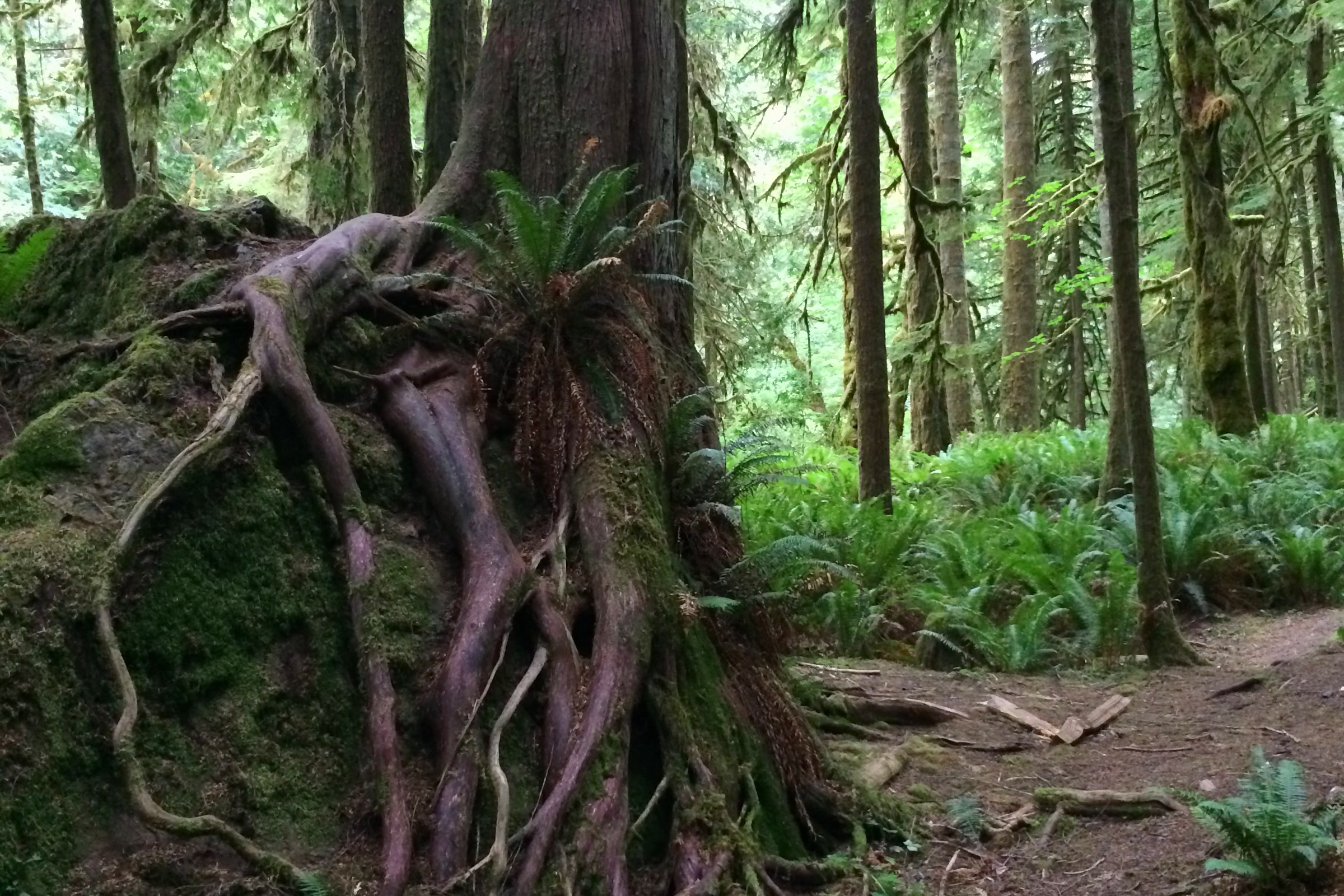
After the turnoff the trail climbs hard through damp forest. The WTA describes it easing a little higher up, where the woods grow drier, madronas appear and the first glimpses of Lake Crescent open through the trees. Expect steady switchbacks all the way.
Mount Storm King trail numbers, by source
Published figures differ a little depending on where each source measures from, so here they are side by side.
| Source | Distance | Climb |
|---|---|---|
| NPS trailhead page | 2.2 miles from the Marymere Falls trail | 2,000 feet |
| NPS trail page | 1.7 miles | 600 feet to 2,700 feet elevation |
| NPS trail conditions | Junction to end of trail at mile 1.7 | Not given |
| WTA | 4.0 miles round trip | 2,065 feet gain |
The park’s own trail page rates the hike difficult, describes the elevation trend as steep, and lists views of Lake Crescent and nearby peaks as its unique feature. It also warns that snow may cover the higher reaches in any season, so know how to navigate without a trail for guidance.
The End of Maintained Trail sign and the ropes
This is the part of Mount Storm King that every visitor should know about. The NPS trail conditions page (entry last updated June 4, 2026) tells hikers to note the “End of Maintained Trail” sign. In the park’s words, “Beyond this is exposed & steep with loose rock.”
The same entry speaks directly about the ropes. “Visitors sometimes put up ropes in this location,” the park says, and “these are not installed or maintained by the NPS and may be unsafe.” The park also notes that this is a day use trail and camping along the route is prohibited.
- The maintained trail ends at the signed point; the park does not maintain the ground beyond it.
- Ropes there are put up by visitors, not by the park, and the park warns they may be unsafe.
- The WTA likewise calls the upper section an unmaintained, exposed climber’s trail and says to know your skill level.
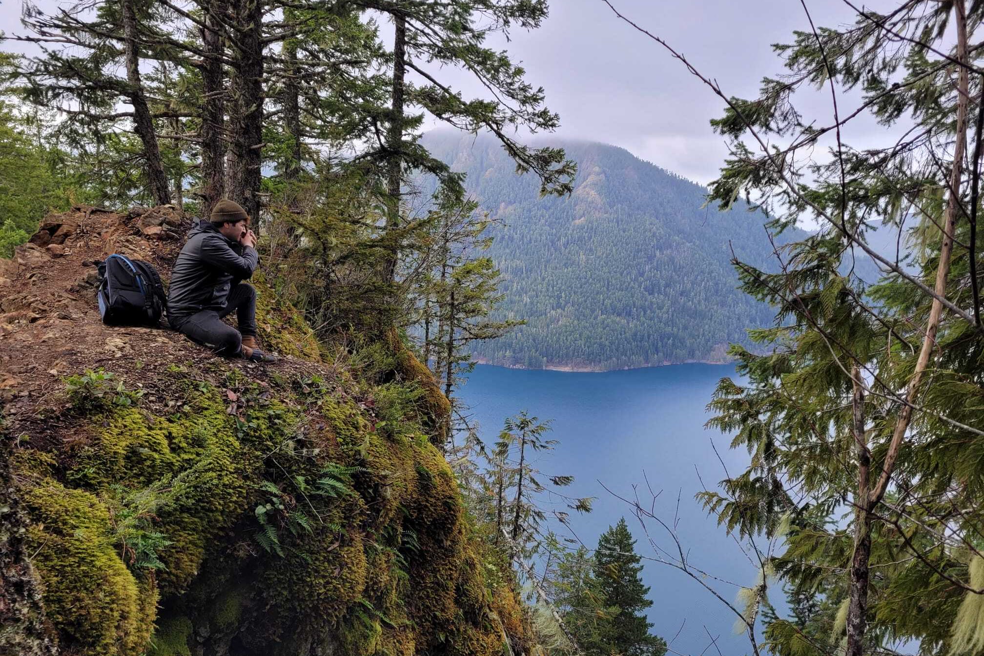
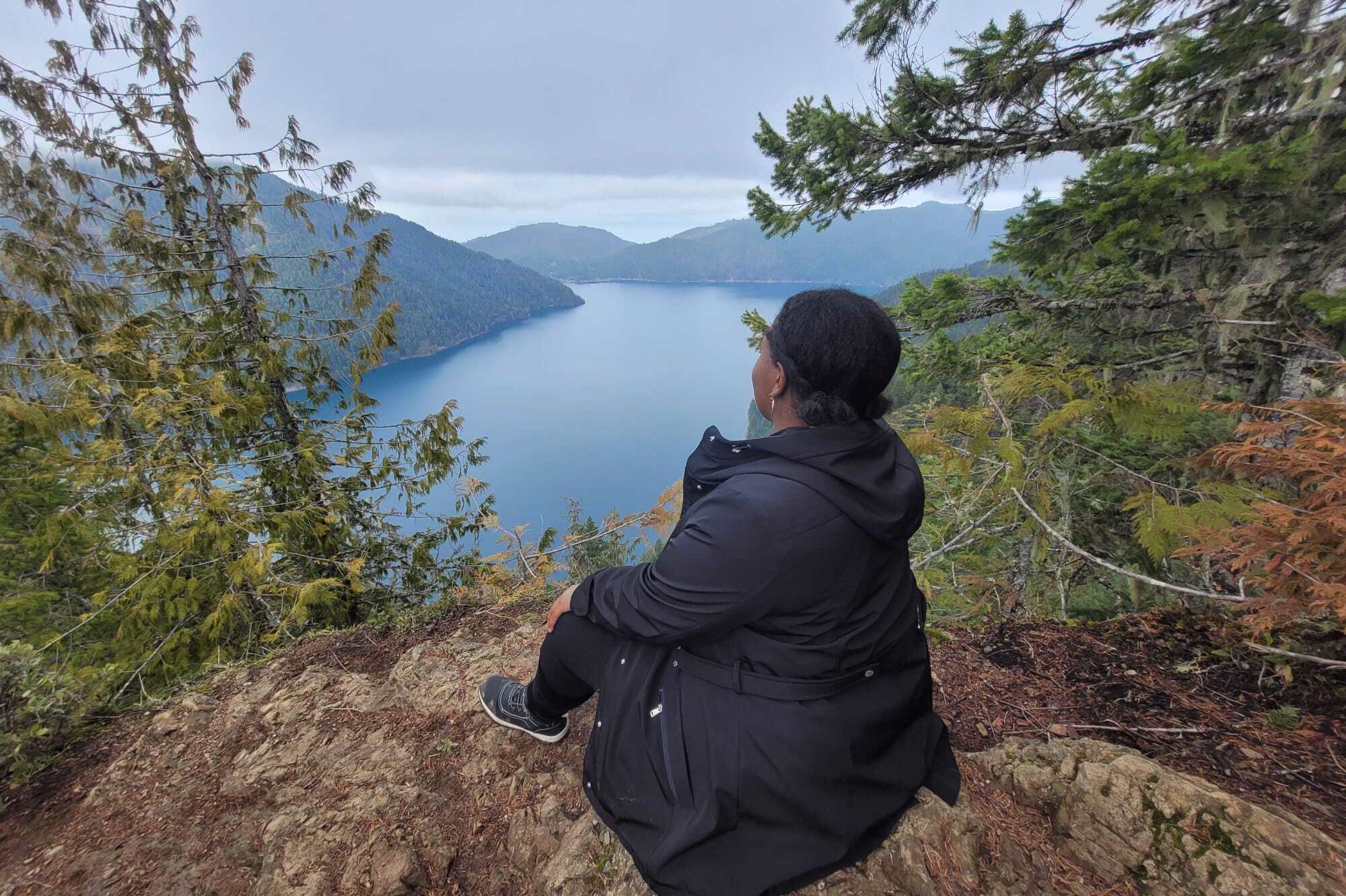
The viewpoints below the sign already give wide views over Lake Crescent, and the sign is a fine place to turn around. Conditions change, so read the current trail conditions page before you go.
Don’t feed the Canada jays
The park has a specific request for Mount Storm King: don’t feed the Canada jays. Its trailhead page explains that some visitors have fed birds here, and birds that grow used to handouts can forget how to be wild and even turn aggressive. Feeding wildlife breaks park rules and can bring a fine.
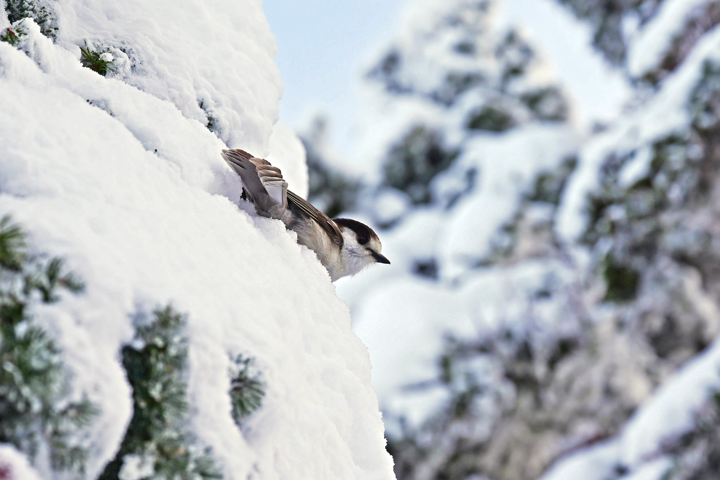
Our guide to birding in Olympic National Park has more on watching these bold, curious birds without changing how they behave.
Planning your Mount Storm King hike
It ranks among the toughest short Lake Crescent hikes, so give it time and plan with the season in mind. These points come from the park and the WTA.
- Season: the park lists May through October as best, and snow may linger high up in any season.
- Pass: the WTA lists a park entrance pass; our Olympic National Park entrance fees guide explains the options.
- Dogs: the WTA lists dogs as not allowed; see dogs in Olympic National Park for places that welcome them.
- Stock: the park prohibits stock on this trail.
The WTA Mount Storm King hike guide has recent trip reports from other hikers. On the way down, you can turn at the Marymere junction and add the short walk to the falls before heading back to the ranger station.
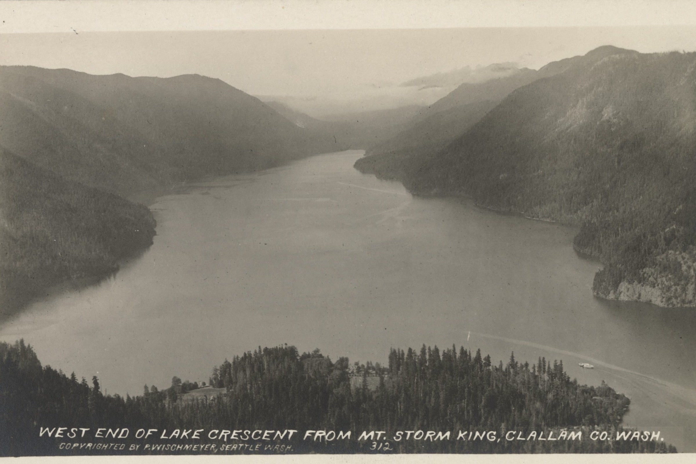
People have come up Mount Storm King for this view for a long time. A postcard from about 1925 already showed the lake stretching west between its forested ridges.
How Friends of Olympic National Park helps
We are Friends of Olympic National Park (FONP), a volunteer led friends group based in Port Angeles. Our volunteers look after the Heart O’ the Forest Trail through our adopt-a-trail crew, and our members help fund work like it. If trails like Mount Storm King matter to you, become a member and help us care for the park.
Frequently asked questions
How long is the Mount Storm King hike?
The NPS trailhead page says the trail climbs 2,000 feet in 2.2 miles from the Marymere Falls trail. The park’s trail page lists 1.7 miles, and the WTA gives 4.0 miles round trip with 2,065 feet of gain.
Are there ropes on Mount Storm King?
Visitors sometimes put up ropes beyond the End of Maintained Trail sign. The park says these are not installed or maintained by the NPS and may be unsafe, and that the ground beyond the sign is exposed and steep with loose rock.
Where does the Mount Storm King trail start?
At Storm King Ranger Station on the south shore of Lake Crescent. You follow the Marymere Falls trail under Highway 101, then take the signed Mount Storm King branch uphill.
Can you camp on Mount Storm King?
No. The park lists it as a day use trail and says camping along the route is prohibited.
When is the best time to hike Mount Storm King?
The park lists May through October as the best season. Snow may cover the higher reaches in any season, so check the NPS trail conditions page before you go.
Leave a Reply