
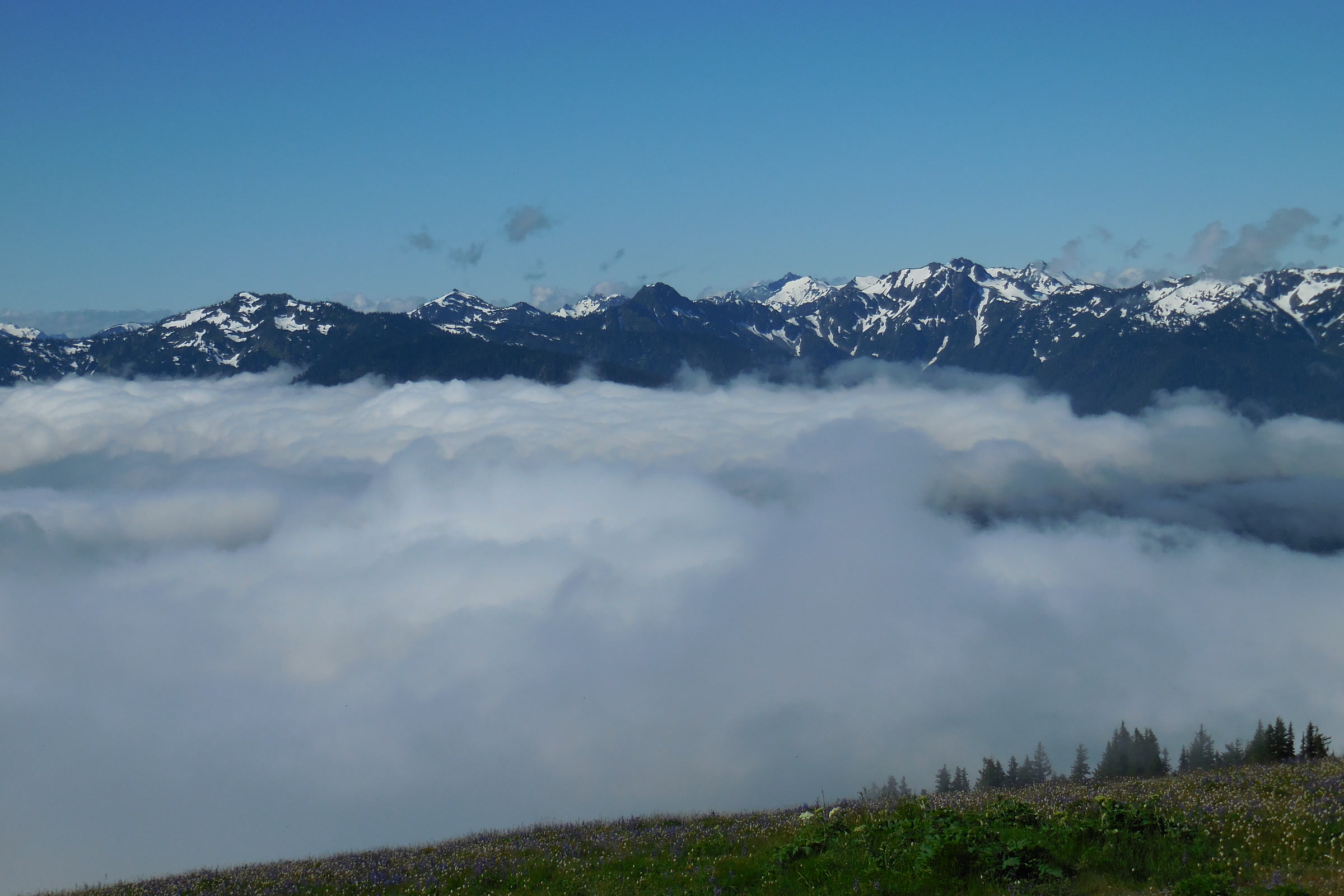
Drive from the Hoh Rain Forest to Sequim and you leave some of the wettest spots in the continental United States for a town that gets about 16 inches of rain a year. The west side of the Olympic Peninsula is drenched, while the northeast corner sits in a rain shadow so dry that farmers irrigate their fields. The cause is the Olympic Mountains themselves, standing in the path of storms off the Pacific.
Quick answer
What is the Olympic rain shadow?
The Olympic rain shadow is the dry area northeast of the Olympic Mountains. Pacific storms are forced up the western slopes and drop most of their moisture there, so the Hoh Rain Forest averages about 135 inches of rain a year. By the time the air crosses the range, little is left: Sequim averages about 16 inches.
- Coast and west valleys: 100 to 170 inches a year
- Park headquarters in Port Angeles: 25 to 30 inches
- Sequim: roughly 16 inches a year
- Most precipitation falls from November to April
How a rain shadow forms
The park’s weather brochure explains that the ocean is the source of most of the peninsula’s weather. Storm clouds full of moisture move inland, run into the foothills, and are forced upward. As the air rises it cools and the pressure drops, so it can hold less water. The surplus falls as rain in the lowlands and as snow in the high country.
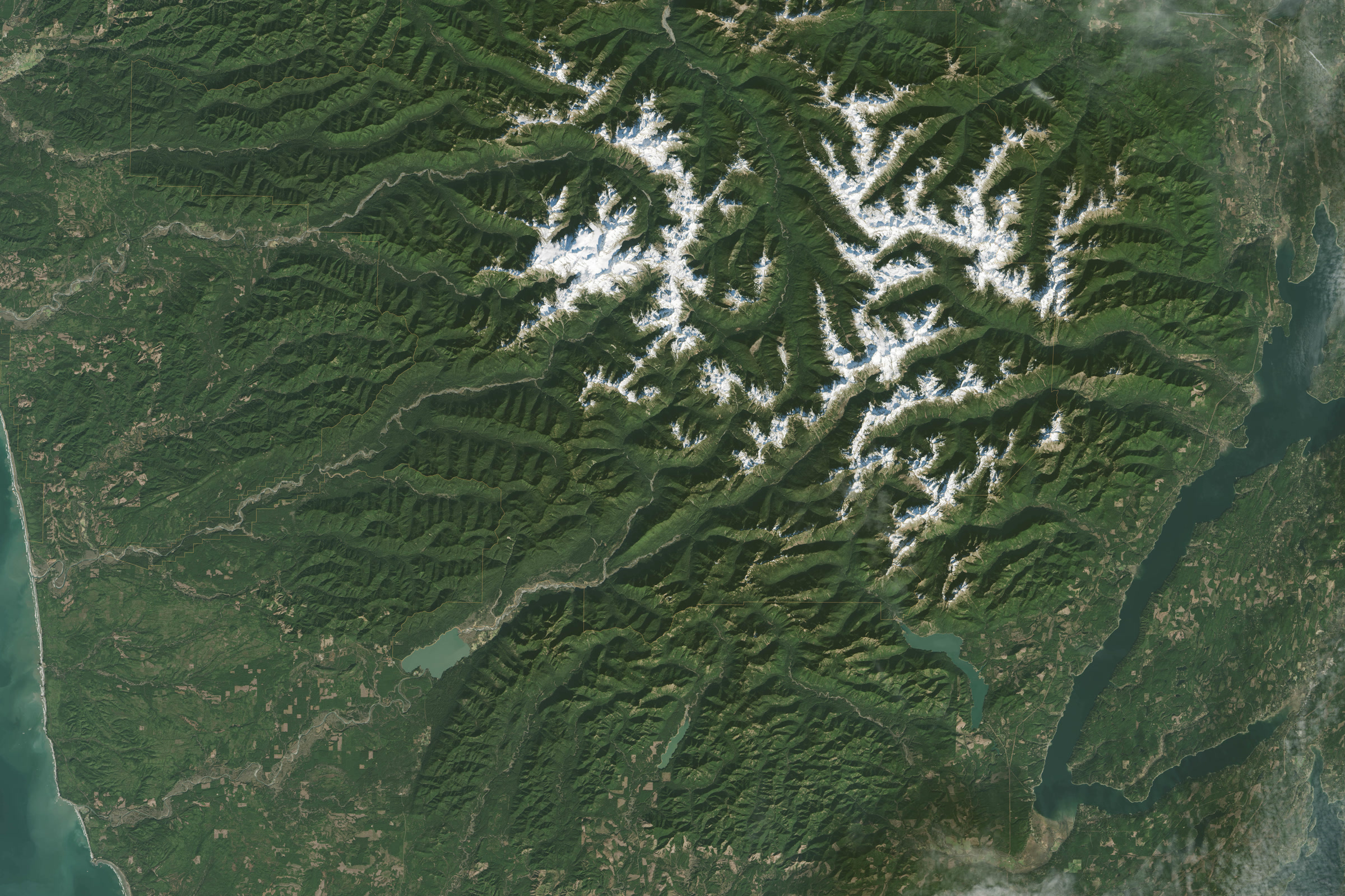
The storms keep moving east, losing more moisture as they go. Once the air passes the crest it sinks down the far side. Sinking air warms, and because it has already lost much of its water, its humidity falls. Clouds thin out and rain becomes scarce, leaving a dry “shadow” downwind of the peaks.
Up high, the moisture comes down as snow. Mount Olympus, the highest point on the peninsula at 7,980 feet, is estimated to get more than 50 feet of snow a year. Our post on how the Olympic Mountains formed tells the story of the range itself.
The wet side: coast and rain forest valleys
The park’s weather page gives 100 to 170 inches of rain a year along the coast and in the west facing valleys. The brochure calls the west side valleys the wettest spots in the continental United States, and says the Hoh Rain Forest records an average of almost 12 feet of rain a year. Heavy fog can add more than 30 inches of moisture to the forest on top of that.
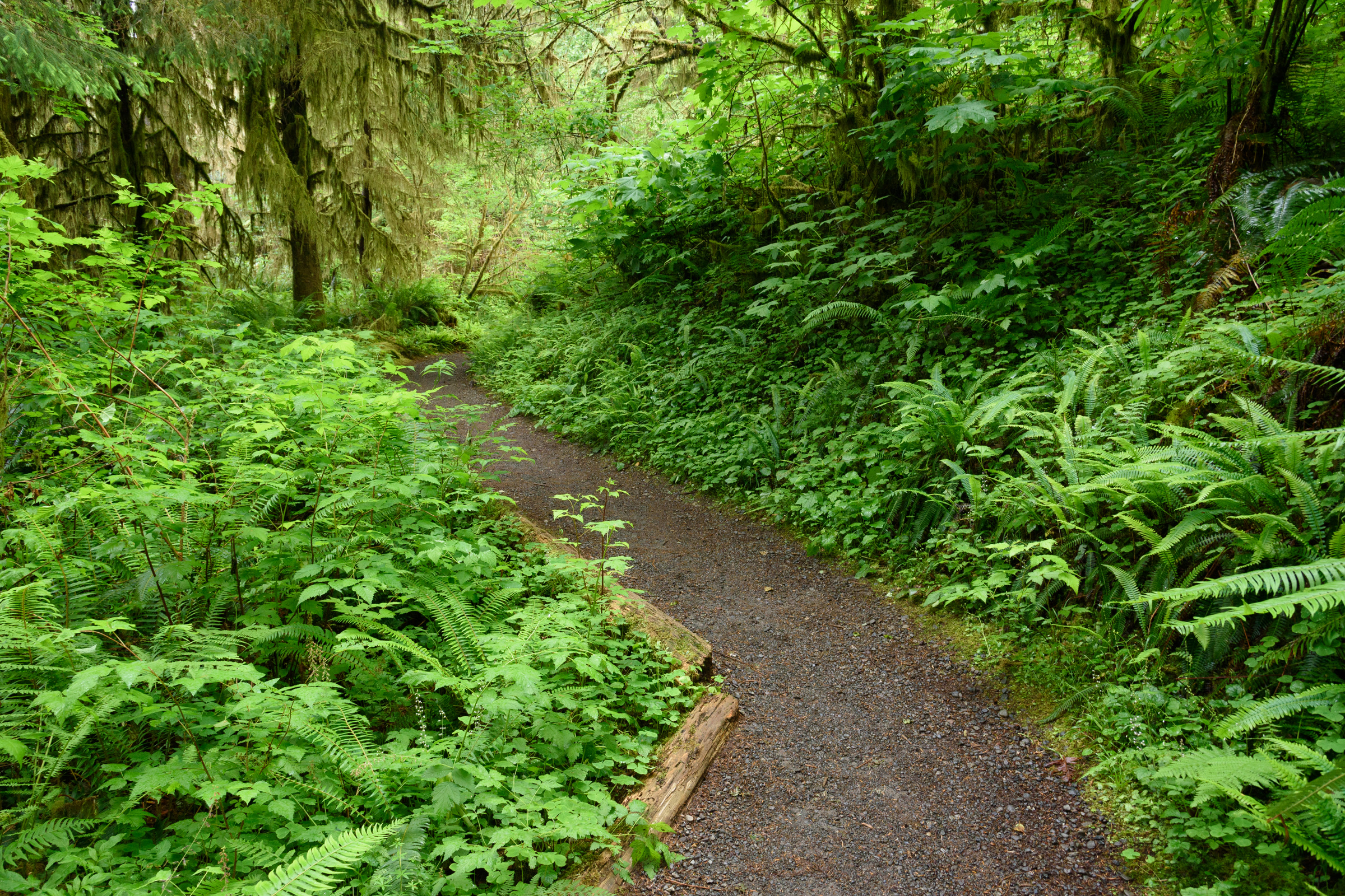
All that water is why the Hoh and Quinault valleys grow temperate rain forests, with moss hanging from the maples and spruce. Our guide to the temperate rainforests of Olympic National Park covers the trees and plants, and mosses and lichens of the Olympic rainforest looks at the smallest growth that thrives on the damp.
The dry side: Port Angeles, Sequim and the northeast
The drop off to the east is steep. Olympic National Park Headquarters in Port Angeles averages only 25 to 30 inches a year, according to the park. Farther east, the brochure says, the northeastern peninsula lies in a dry rain shadow and the town of Sequim gets roughly 16 inches of rain a year.
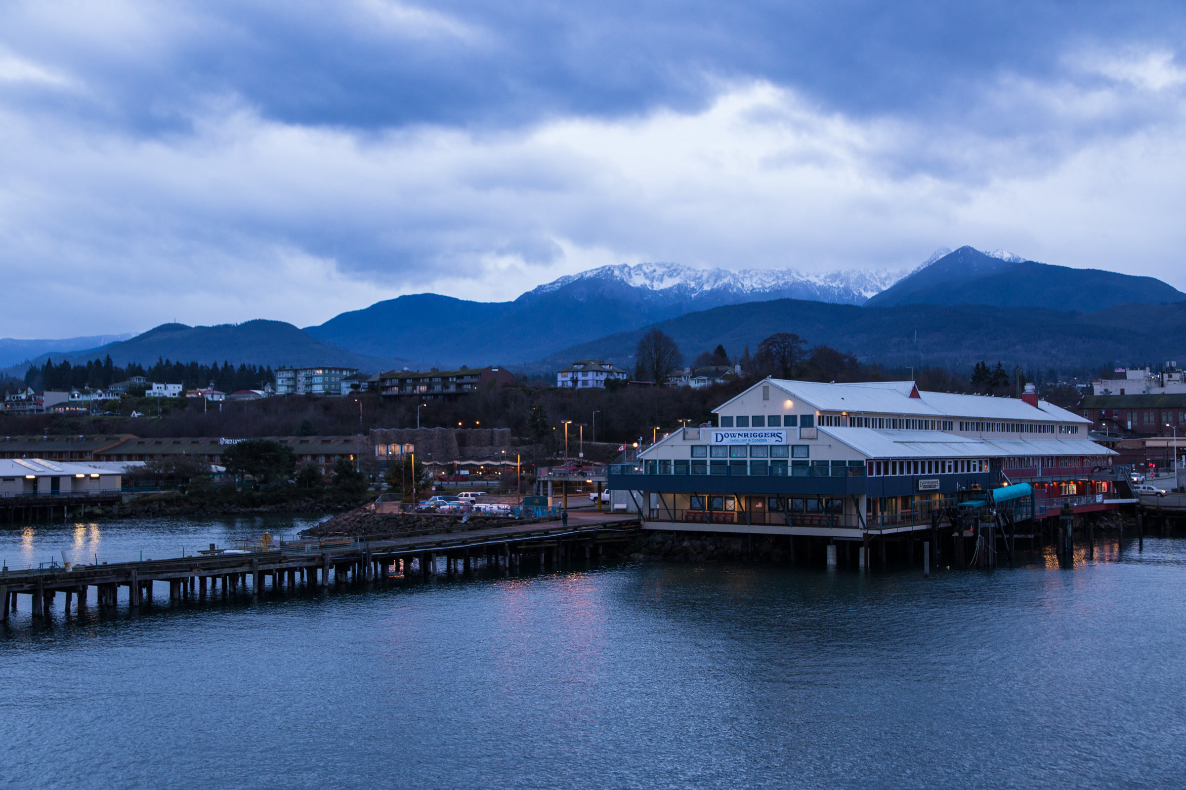
That gap is remarkable on the ground. The park notes that Sequim farmers irrigate their fields and that a few prickly pear cacti grow there, less than 35 miles from lush rain forest. Inside the park, the change shapes the forests too: the western valleys are dominated by temperate rain forest, while the eastern slopes hold drier lowland forests.
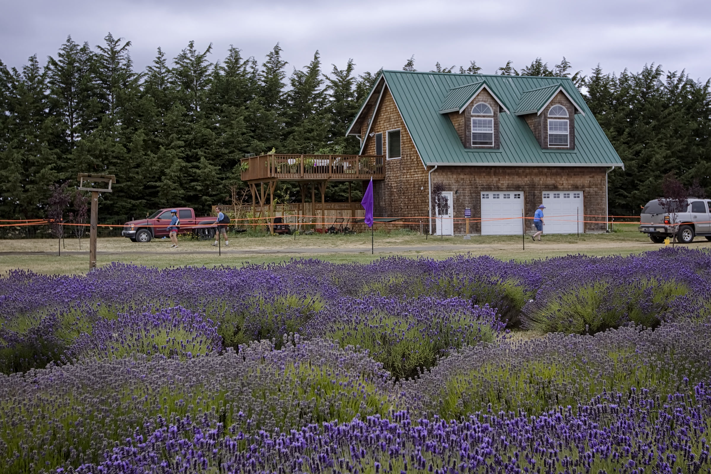
Olympic Peninsula rainfall compared
Here are the yearly averages the park publishes for four places, plus one from the state climate office. Different weather stations and record periods give different numbers, so treat these as a guide to the contrast rather than exact totals.
Average yearly precipitation, west to northeast
| Place | Setting | Inches a year | Source |
|---|---|---|---|
| Quinault | Windward side of the Olympics | 151.45 | Washington State Climate Office |
| Hoh | Rain forest valley | 135.0 | NPS |
| Kalaloch | Pacific coast | 103.00 | NPS |
| Port Angeles | North shore | 25.9 | NPS |
| Sequim | Northeast rain shadow | 15.80 | NPS |
The Washington State Climate Office notes that while the Cascades cause the state’s most distinct rain shadow, the Olympics produce one too. Its own figure for Sequim is 23.98 inches, higher than the park’s, which shows how much the station matters. Either way, Sequim gets a small fraction of what falls on the Quinault.
When the rain falls
The park says most precipitation falls between November and April. Summers are drier everywhere, but the west side is still wetter than the rain shadow in every season, as the brochure’s average monthly rainfall shows.
Average monthly rainfall by season, Hoh vs Sequim
| Season | Hoh (inches a month) | Sequim (inches a month) |
|---|---|---|
| Winter | 18.33 | 1.61 |
| Spring | 10.33 | 0.94 |
| Summer | 3.33 | 0.79 |
| Autumn | 13.00 | 1.91 |
Much of the winter moisture lands as snow up high. The park says Hurricane Ridge traditionally records 30 to 35 feet of snow a year, which is why our Hurricane Ridge in winter guide matters for anyone heading up the road from Port Angeles.
What the rain shadow means for your visit
- Pack for both sides. A sunny morning in Port Angeles can turn into a soaking afternoon at the Hoh. Our list of what to pack for Olympic National Park covers rain gear and layers.
- Know the gap. Over a year the northeast gets a small fraction of the coast’s rain, as the figures above show, so weather in Sequim tells you little about the Hoh.
- Expect rain any time. The park warns that rain is always possible and that hikers should be ready for thunderstorms, especially at higher elevations.
- Plan by season. Our best time to visit Olympic National Park guide walks through what each season brings.
How Friends of Olympic National Park helps
We are Friends of Olympic National Park (FONP), a volunteer led friends group based in Port Angeles, right on the edge of the rain shadow. Our volunteers adopt a trail, join cleanups and host the Winter Perspectives lecture series. If the park’s wild weather and the forests it feeds matter to you, please become a member.
Frequently asked questions
Why is Sequim so dry?
Sequim sits in the rain shadow of the Olympic Mountains. Pacific storms drop most of their moisture on the western slopes, so the park says Sequim gets roughly 16 inches of rain a year.
How much rain does the Hoh Rain Forest get?
The park says the Hoh Rain Forest records an average of almost 12 feet of rain a year. Its weather brochure lists 135.0 inches as the yearly average.
How much rain does Port Angeles get?
The park says its headquarters in Port Angeles averages only 25 to 30 inches a year, far less than the coast. Sequim, farther east, is drier still.
When is the rainy season on the Olympic Peninsula?
The park says most precipitation falls between November and April. Summer is drier, but rain is always possible.
Does the rain shadow affect the park itself?
Yes. The park says the western valleys are dominated by temperate rain forests, while the drier eastern slopes hold lowland forests instead.
Leave a Reply