
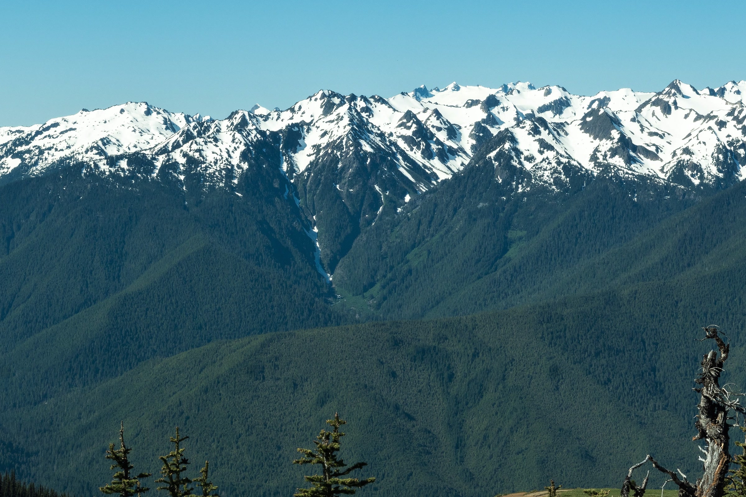
Olympic Mountains geology starts somewhere surprising: the bottom of the Pacific Ocean. The rocks of Mount Olympus, Hurricane Ridge and the wild coast were laid down on the sea floor, then pushed against North America and lifted into peaks. Here is that story in plain words.
Quick answer
How were the Olympic Mountains formed?
The Olympic Mountains formed from sea floor rock. Lava cooled into basalt and sand and mud piled up offshore. As the Juan de Fuca Plate slid beneath North America, those layers were scraped off, folded and pushed up. Ice sheets and alpine glaciers then carved the valleys, and erosion still wears the peaks down.
- Three main rocks: sandstone, shale and basalt
- Crescent Formation basalt forms a horseshoe around the core
- Mount Olympus, the highest peak, is 7,980 feet
- The Cordilleran Ice Sheet was about 3,500 feet thick
Olympic Mountains geology begins on the sea floor
The park puts it simply: the Olympic Mountains were born in the sea. Its Olympic National Park geology page says the basalts and sedimentary rocks of these peaks were laid down offshore between about 57 and 18 million years ago. Underwater volcanoes poured out lava that cooled into basalt, while rivers carried sand and mud out to sea, where it hardened into sandstone and shale.
The Crescent basalts and their horseshoe
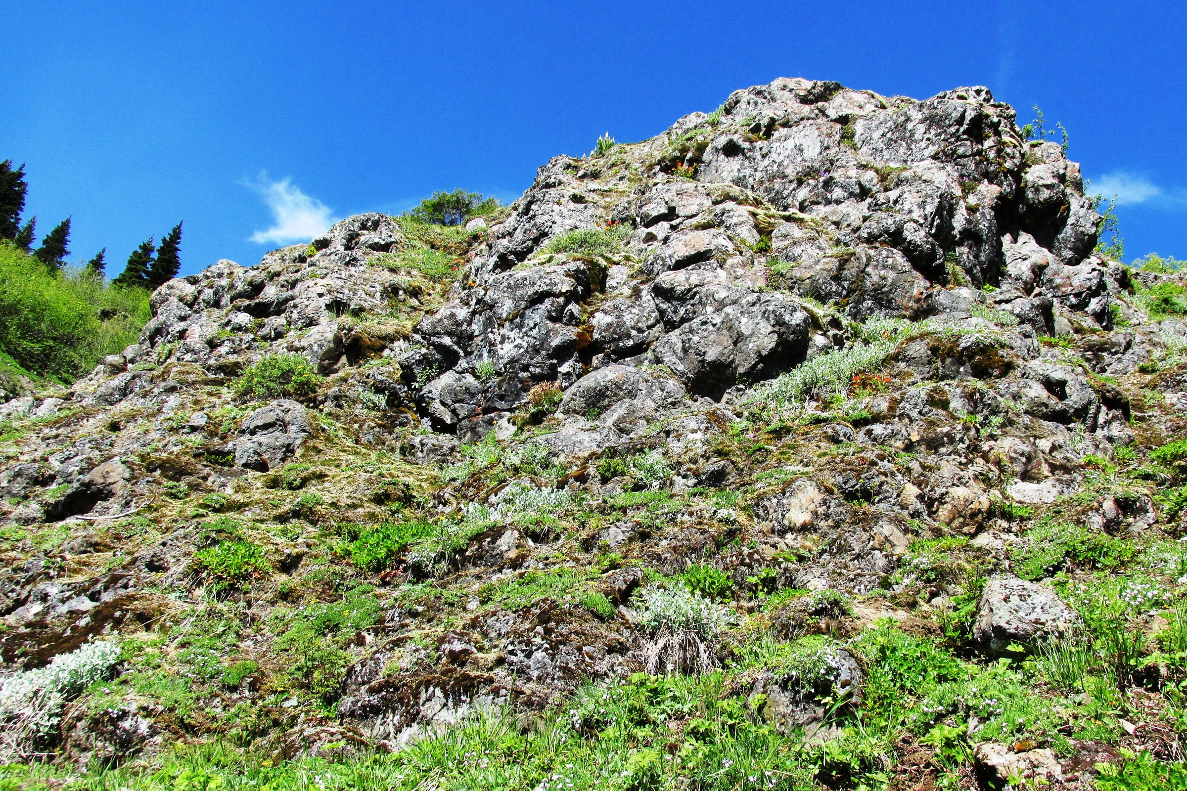
With a few exceptions, the oldest rocks in the range are the Crescent Formation basalts. A park geology handout dates them to more than 55 million years ago, erupted on the sea floor, sometimes as rounded blobs called pillows. The flows stack up to 12 miles deep and reach from Coos Bay, Oregon, north to Victoria on Vancouver Island.
On a map the basalt makes a striking shape. The Washington Geological Survey describes a horseshoe shaped border of Crescent Formation basalt around a core of highly folded sedimentary and metamorphic rock. Near Hurricane Ridge you look along part of that curve.
A plate collision and an accretionary wedge
Off the coast, the Juan de Fuca Plate is sliding beneath the North American Plate, a process called subduction. The park dates the collision that began building the Olympics to about 34 million years ago. The state survey says this oceanic crust was added to the continent over the last 40 million years along the Cascadia subduction zone.
Not everything on the sinking plate goes down with it. Much of the sea floor sediment is scraped off and crumpled against the continent, like frost piling up ahead of a windshield scraper. Geologists call that pile an accretionary wedge, and in the Olympics it was jammed under the older basalts to form the central core.
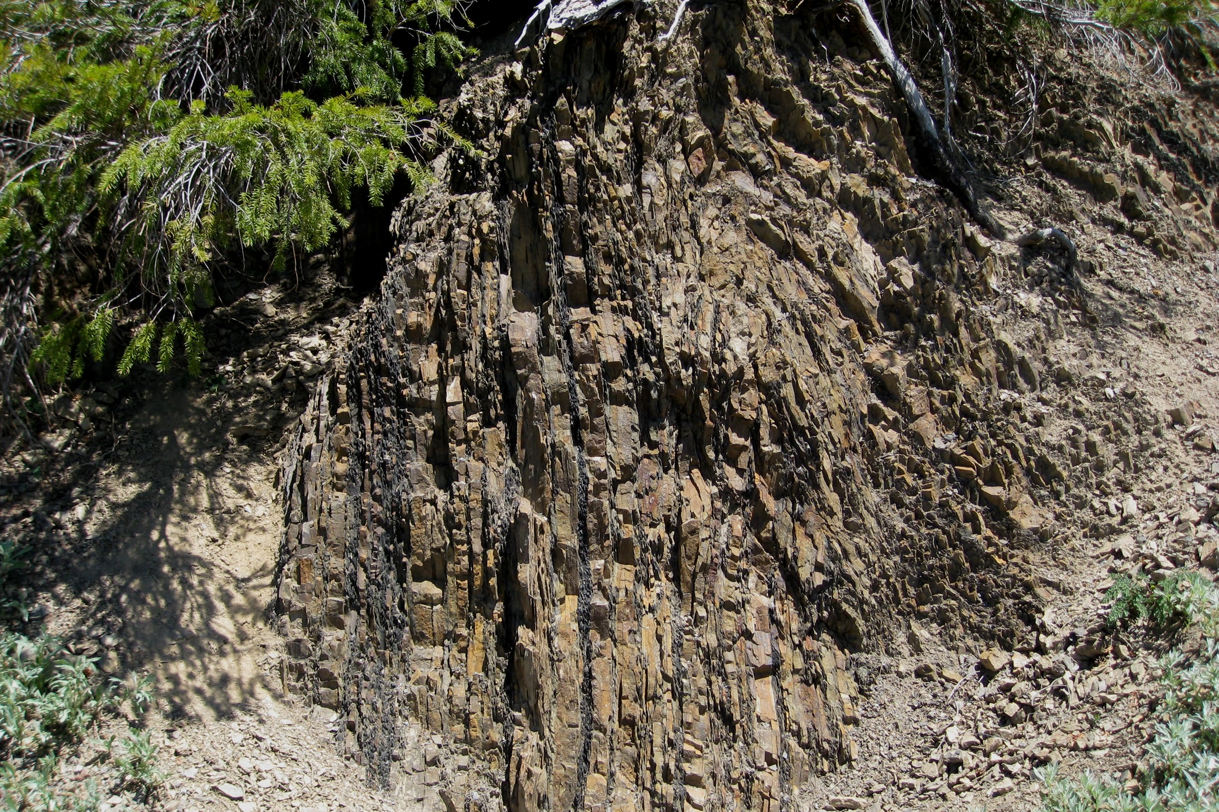
You can see the result on the Hurricane Hill trail, where the park points out rock layers standing upright like pressed pages. They are old ocean floor, now just shy of 6,000 feet above sea level. The squeeze continues, but the park says erosion keeps pace, so Mount Olympus is not getting any taller.
Its handout goes further: without rain, snow, rivers, glaciers and gravity wearing them down, the Olympics would be taller than Mount Everest.
Olympic Peninsula rocks compared
The state survey names three main rock types in the Olympics: sandstone, shale and basalt. A fourth, granite, arrived from far away on the ice.
| Rock | How it formed | Where to look |
|---|---|---|
| Basalt | Lava that cooled on the sea floor, often as pillows | The horseshoe of ridges on the north, east and south sides |
| Sandstone | Sand from underwater landslides, pressed into rock | The interior peaks and the tilted ledges at Beach 4 |
| Shale and slate | Sea floor mud; more pressure makes slate | Thin dark layers between sandstone, as on Hurricane Hill |
| Granite (erratic) | Carried in from Canada by an ice sheet | Light speckled stones in the Elwha River |
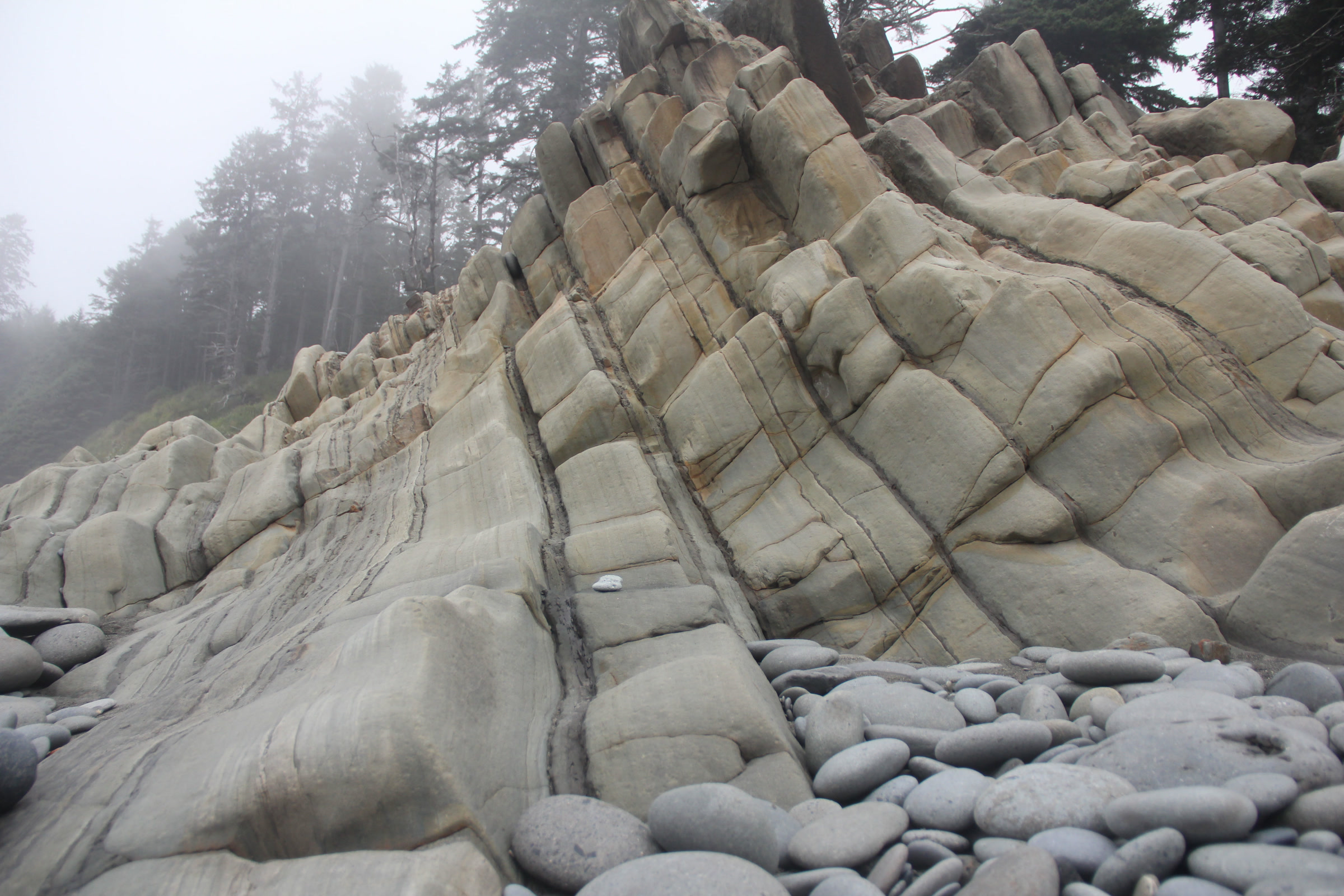
Much of that sandstone began as turbidity currents, huge underwater landslides that earthquakes can set off. Heavy sand settles first and fine mud drifts down on top, leaving a sorted layer. At Beach 4, near Kalaloch, the park notes the sandstone panels are not only tilted but upside down.
How ice shaped Olympic National Park geology
Uplift built the range, but ice gave it shape. The most recent ice sheet, the Cordilleran Ice Sheet, advanced about 16,900 years ago and began to retreat around 14,000 years ago. At about 3,500 feet thick, it dug out Puget Sound, scoured the northern and eastern edges of the Olympics and dammed valleys such as the Elwha.

Alpine glaciers once reached down into today’s rainforest valleys. Ice grinds across a whole valley floor and leaves a broad U shape, unlike the narrow V a river cuts. Lake Crescent fills one of these glacier carved basins, and our Lake Crescent guide tells how a landslide later split it from Lake Sutherland.
The ice sheet also left visitors behind. Granite from Canada’s Fraser Valley rode in on the ice more than 13,000 years ago, and the Elwha River still tumbles these erratics downstream. Glaciers remain on the high peaks but are shrinking fast; our post on Olympic National Park glaciers and a changing climate covers that story.
Sea stacks: where the coast tells the story
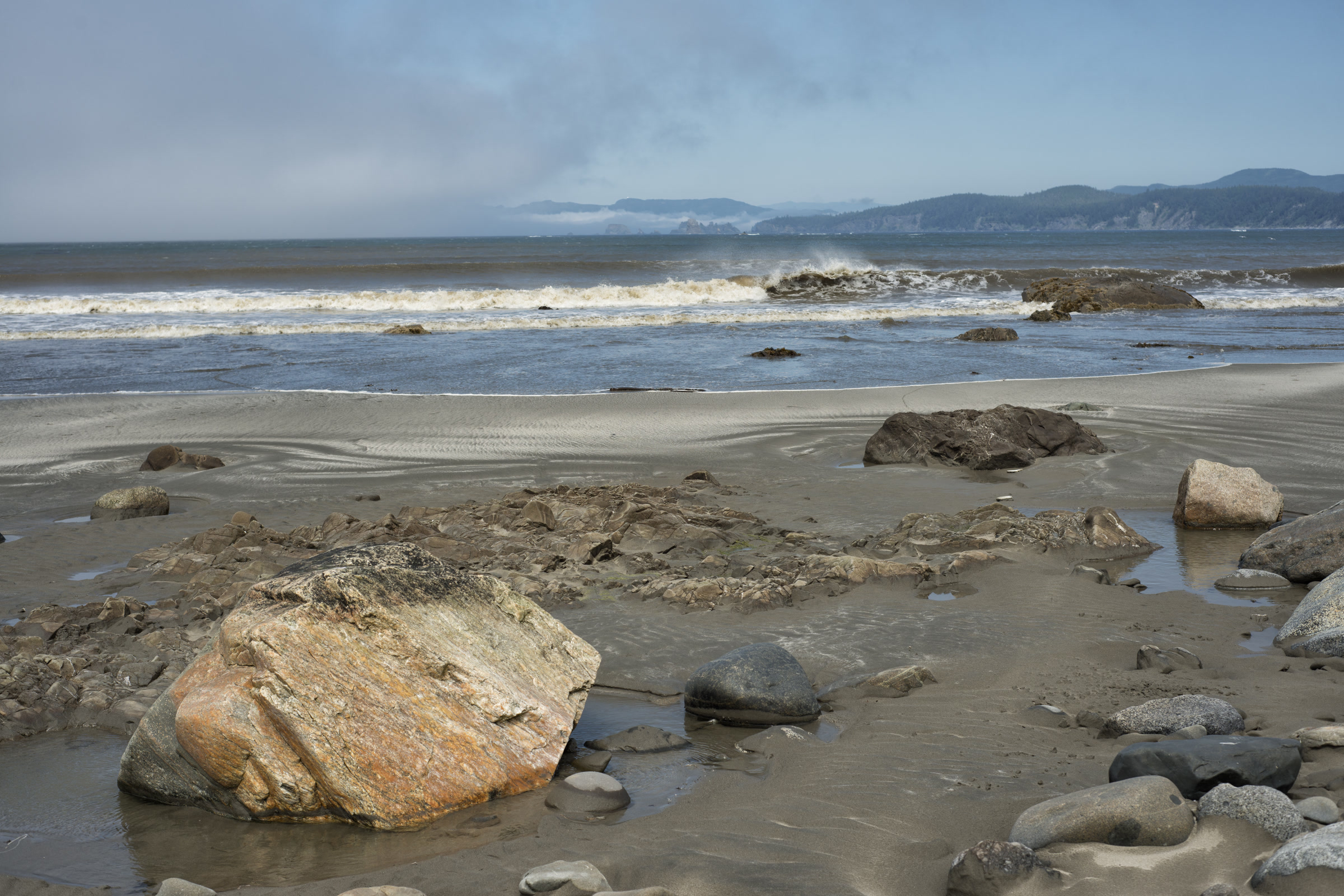
The coast’s sea stacks belong to what geologists call the Hoh Rock Assemblage. The park compares it to chocolate chip cookie dough: hard volcanic and sedimentary chunks set in softer mudstone. Waves wear away the soft dough first and leave the tough chips standing offshore, at beaches from Shi Shi to Ruby Beach.
Our Ruby Beach visitor guide and tide pool guide help you time a visit for low tide.
Where to see the geology on a visit
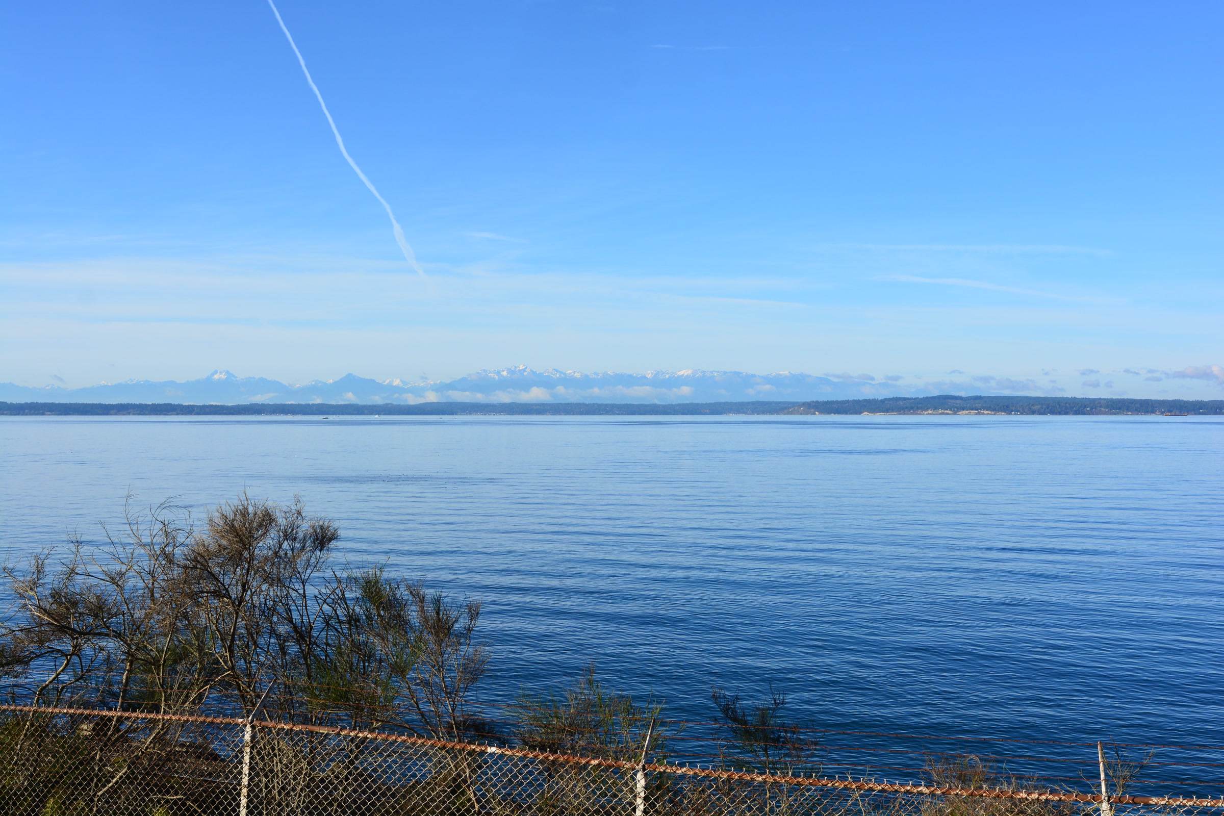
- Hurricane Ridge and Hurricane Hill: views of the interior peaks and upturned sea floor beside the trail. Pair it with our Hurricane Ridge wildflower guide.
- Beach 4 at Kalaloch: tilted, overturned sandstone a short walk down from the parking area.
- The Elwha River: dark basalt, grey sandstone and the odd speckled granite erratic among the cobbles.
Geologists still debate parts of this story, as the park’s own handout says. Please leave rocks where you find them so the next visitor can read them too.
How Friends of Olympic National Park helps
We are Friends of Olympic National Park (FONP), a volunteer led friends group based in Port Angeles. We support the park’s Winter Perspectives lecture series and lead guided nature walks. If you love these mountains, become a member and help keep that curiosity going.
Frequently asked questions
Are the Olympic Mountains volcanic?
No. The park says the Olympic range is not volcanic, even though it holds a lot of basalt. That basalt came from underwater eruptions on the ancient sea floor and was later pushed onto the continent.
How old are the Olympic Mountains?
The rocks are older than the mountains. The park says they were laid down offshore between about 57 and 18 million years ago, and dates the collision that began building the range to about 34 million years ago.
Are the Olympic Mountains still rising?
Yes, but erosion wears the peaks down about as fast as they rise, so the park says Mount Olympus is not getting any taller.
What is the Crescent Formation?
A thick series of basalt lava flows that erupted on the sea floor more than 55 million years ago. In the Olympics it forms a horseshoe of ridges around the northern, eastern and southern edges of the range.
Where can I see Olympic geology up close?
Try the Hurricane Hill trail for upturned sea floor, Beach 4 at Kalaloch for tilted sandstone, the Elwha River for mixed cobbles, and coastal beaches for sea stacks.
Leave a Reply