
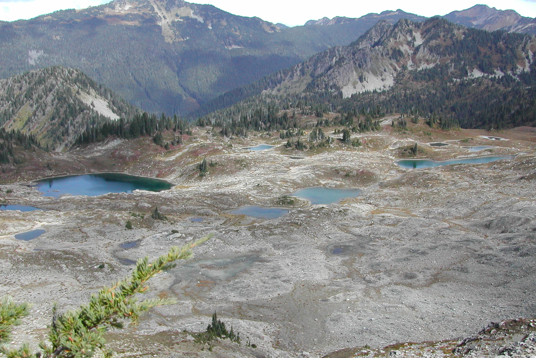
The High Divide Loop is a classic backpacking route in Olympic National Park. It starts in old growth forest at the Sol Duc trailhead, climbs to a long ridge facing Mount Olympus, and passes above Seven Lakes Basin, a bowl of small subalpine lakes. Here is what the park says about distances, season, camping and safety, so you can plan a trip that suits your group.
Quick answer
How long is the High Divide Loop?
The National Park Service lists the High Divide Loop at 18.2 miles with 3,050 feet of elevation gain, starting and ending at the Sol Duc trailhead. The park calls it a popular 2 to 3 day hike. Its best season is mid July through September, and overnight trips need a wilderness permit and a bear canister.
- 18.2 mile loop, 3,050 feet of gain (NPS)
- Snow can linger until early to mid July
- Seven Lakes Basin sits inside a permit quota area
- Bear canisters required throughout the loop
- No campfires above 3,500 feet
Where the loop goes
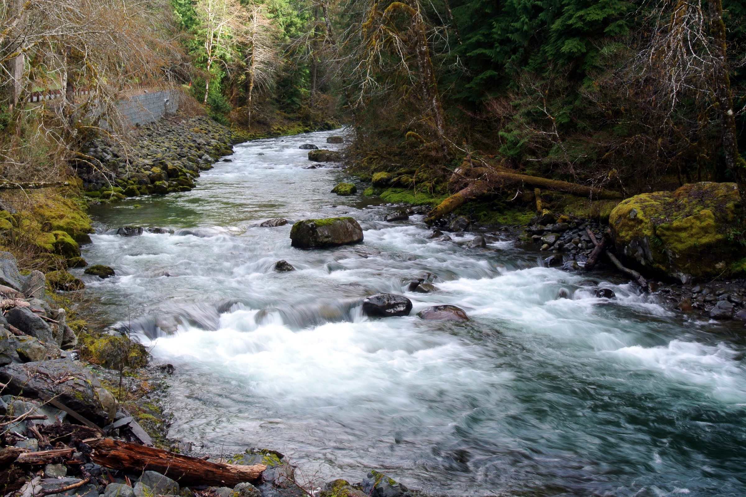
The loop begins at the end of the Sol Duc Road, which the park says is about 40 minutes west of Port Angeles. From the trailhead the first 0.8 mile is the popular walk to Sol Duc Falls, which our Sol Duc Falls and valley guide covers in detail. Beyond the falls, one side of the loop climbs to Deer Lake and the other follows the Sol Duc River up to Sol Duc Park and Heart Lake.
The two sides meet along the High Divide Trail, high on the ridge south of the basin. The park’s High Divide Loop page names Sol Duc Park, Heart Lake, Lunch Lake and Deer Lake as the main destinations, with Lunch Lake reached by a 0.5 mile spur trail into the basin.
High Divide Loop distances
Sources measure this loop differently, so it helps to know whose numbers you are reading. We use the park’s figures first and show the Washington Trails Association’s for comparison.
NPS and WTA figures compared
| Section | NPS | WTA |
|---|---|---|
| Trailhead to Sol Duc Falls | 0.8 mile one way | 0.8 mile |
| Trailhead to Deer Lake | 3.8 miles one way, 1,700 feet of gain | About 3.7 miles (0.8 plus 2.9) |
| Lunch Lake spur | 0.5 mile | Listed as a side trip |
| Full loop | 18.2 miles, 3,050 feet of gain | 19 miles, 4,000 feet of gain |
| Highest point | Not listed | 5,120 feet |
The WTA hike description goes up the Deer Lake side first and reaches the Seven Lakes Basin junction about 8 miles from the trailhead. The park rates the loop moderate, on moderate to steep terrain with a few creek crossings. Plan your daily miles around your camps rather than the total.
Seven Lakes Basin
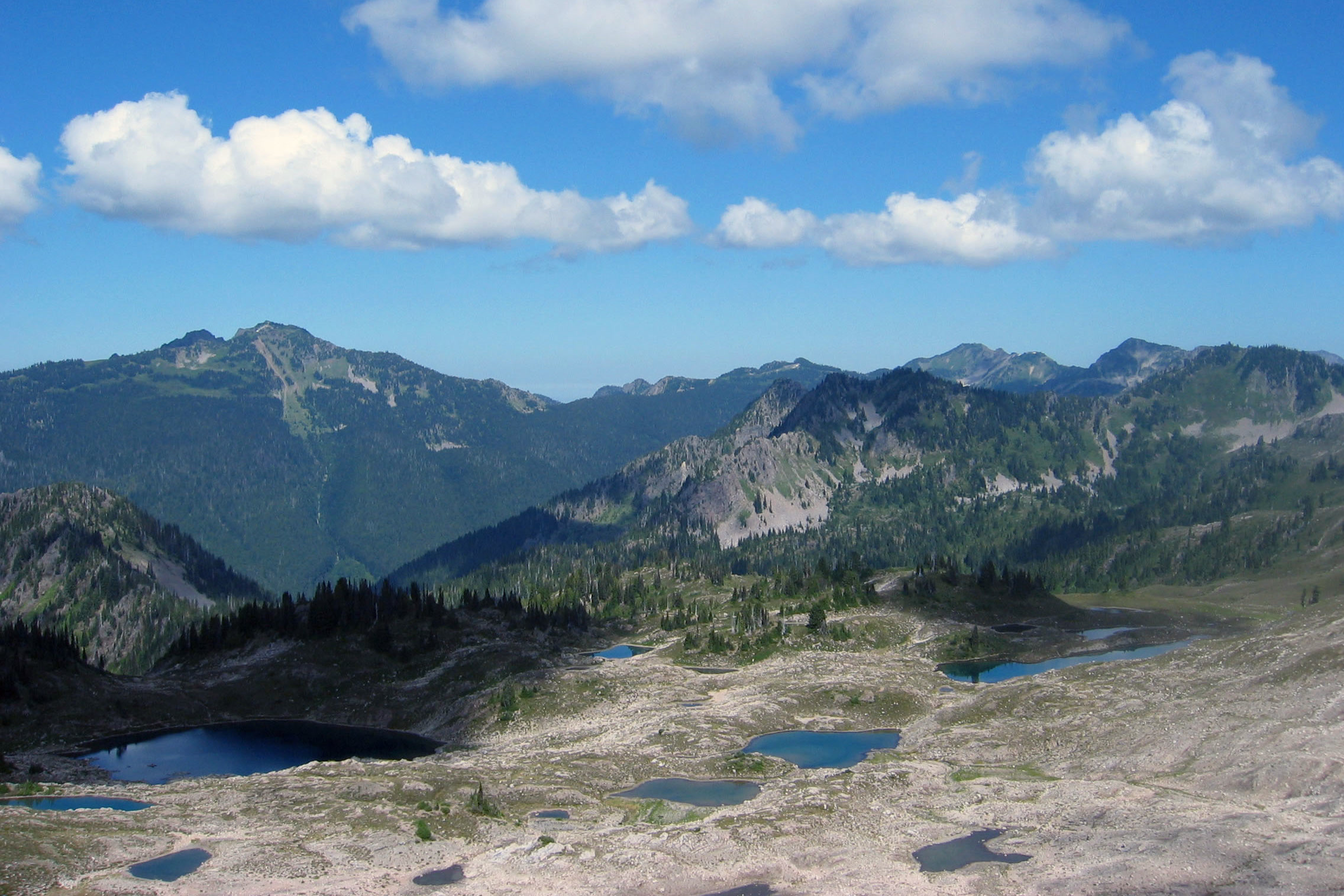
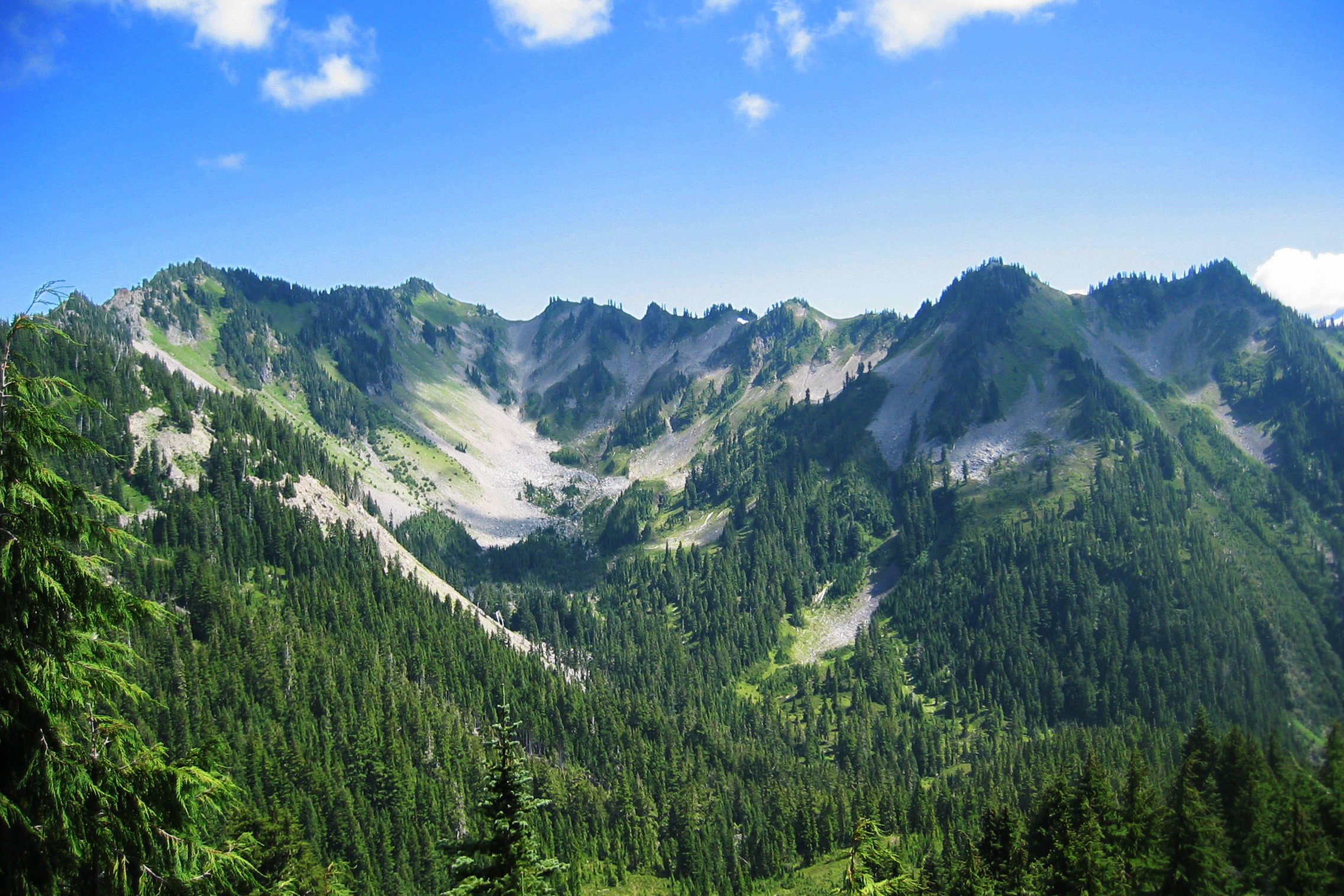
Seven Lakes Basin lies just north of the High Divide, a rocky bowl dotted with lakes and tarns. The WTA describes eight or more lakes, despite the name. From the ridge you look down into the basin on one side and across the Hoh valley to Mount Olympus on the other.
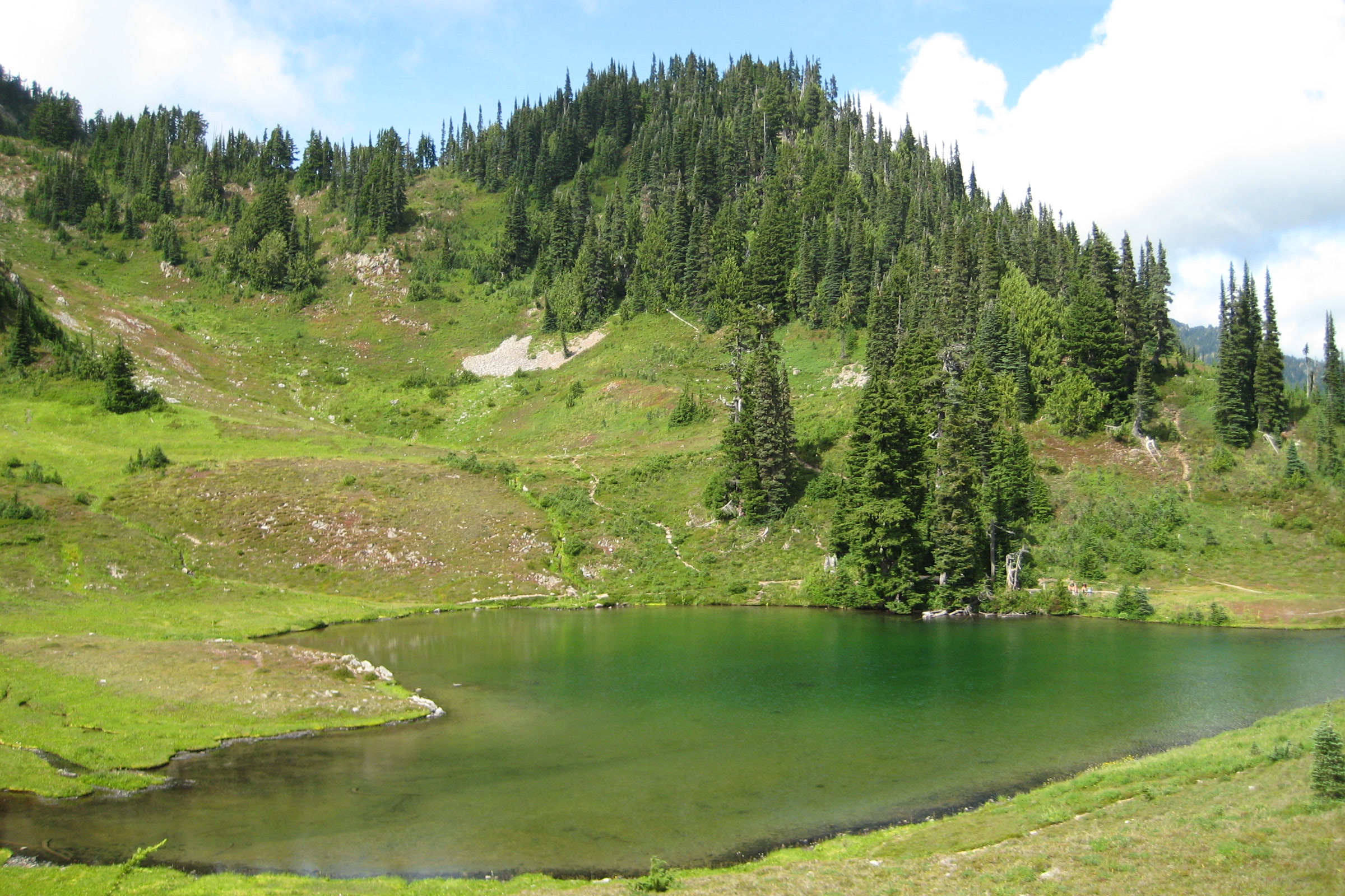
Lunch Lake, down in the basin, is one of the destinations the park lists, and it has a vault toilet. The park notes that campsites above 3,500 feet are heavily used, so keep to established paths and to the designated sites.
The High Divide Trail and Mount Olympus
The park’s Sol Duc valley page says the views of Mount Olympus are astounding on a clear day. Bogachiel Peak, which the WTA lists as a side trip, is another viewpoint along this stretch. Our post on Olympic National Park glaciers and climate change explains what is happening to the ice you see across the valley.
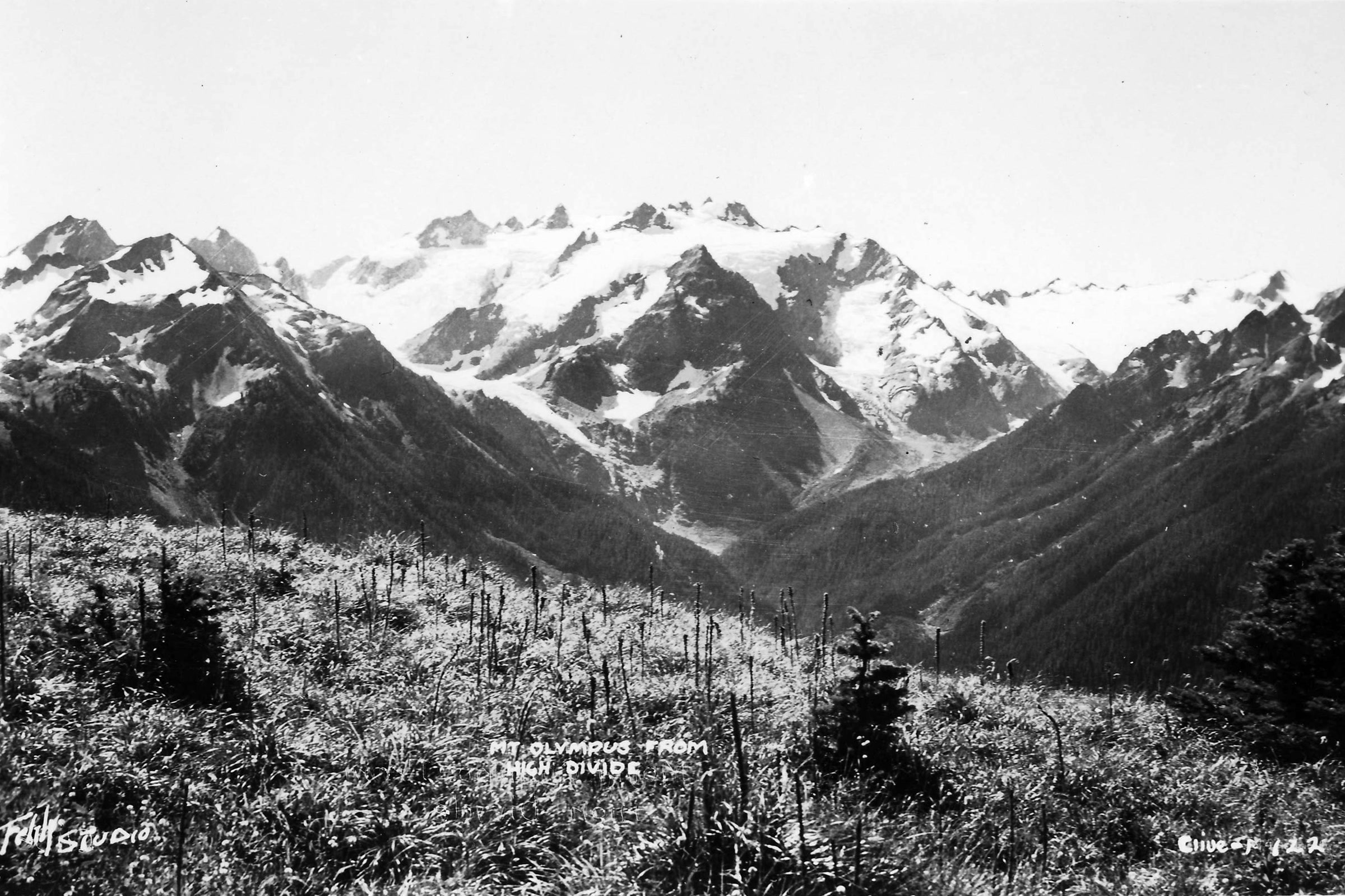
The park warns that snow and ice can cover the High Divide slopes, the area around Bogachiel Peak and the way into the basin. It recommends carrying an ice axe and knowing how to self arrest when snow remains. If you are not prepared for that, wait for later summer.
When to hike, as of October 2026
The park gives mid July through September as the best season. Snow can stay on the trail until early to mid July, and later on steep slopes. As of October 2026 the Sol Duc Road is open all year when weather permits but often closes in winter for snow and ice, so check the NPS page before you go or call the Road and Weather line at 360-565-3131.
Expect cool, wet weather even in summer. Our what to pack for Olympic National Park list covers the layers and gear that wet trail days call for.
Permits, camps and bear canisters
Every overnight trip needs a wilderness permit, and the park lists the “Sol Duc/Seven Lakes Basin/Mink Lake area (including Cat Basin, High Divide, and Little Divide)” as a quota area. Camping is in designated sites only. Our guide to Olympic National Park wilderness permits explains how reservations, fees and quotas work, so we won’t repeat them here.
Camping along the loop
| Stretch | What the park says |
|---|---|
| Sol Duc Falls to Sol Duc Park | Many campsites and water |
| Heart Lake to Deer Lake | Very few campsites and little water |
| Vault toilets | Sol Duc Park, Heart Lake, Lunch Lake and Deer Lake |
| Group sites | Sevenmile Camp, Sol Duc Park and Deer Lake |
Park approved bear canisters are required for all food, garbage and scented items throughout the loop area, and those items must be secured from wildlife 24 hours a day. The park says bears and elk are common here. Our posts on black bears in Olympic National Park and Roosevelt elk explain how to keep a safe distance.
- Boil, filter or chemically treat all water; the park warns of Giardia.
- Campfires are prohibited above 3,500 feet, so bring a stove.
- Use vault toilets for solid waste only; urinate at least 200 feet from campsites and water.
- Where there is no toilet, bury waste 6 to 8 inches deep, 200 feet from camps and water.
- Leave dogs at home; the WTA lists this hike as no dogs.
How Friends of Olympic National Park helps
We are Friends of Olympic National Park (FONP), a volunteer led friends group based in Port Angeles. Our adopt-a-trail crew cares for the Heart O’ the Forest Trail, and our volunteers help with cleanups across the park. If the High Divide is one of your favourite places, look at our volunteer opportunities and lend a hand on the trails closer to town.
Frequently asked questions
How long is the High Divide Loop?
The National Park Service lists the loop at 18.2 miles with 3,050 feet of elevation gain. The Washington Trails Association lists 19 miles and 4,000 feet.
Do you need a permit for Seven Lakes Basin?
Yes, for any overnight stay. The park lists the Sol Duc, Seven Lakes Basin and Mink Lake area, including the High Divide, as a wilderness quota area, and camping is in designated sites only.
When is the best time to hike the High Divide?
The park gives mid July through September. Snow can linger until early to mid July, and later on steep slopes, where the park recommends an ice axe and self arrest skills.
Can you do the High Divide Loop in one day?
The park describes it as a popular 2 to 3 day hike. Plan for the full distance, the elevation gain and cool, wet mountain weather.
Do you need a bear canister on the High Divide?
Yes. The park requires approved bear canisters for all food, garbage and scented items throughout the loop area, secured from wildlife 24 hours a day.
Leave a Reply