

The Elwha River Trail follows the park’s largest watershed deep into the Olympic Mountains, past old homestead cabins and a river running free again after its dams came out. Getting to the start takes more effort than it used to, because the valley road is closed to cars. Here is how to reach Whiskey Bend today and which hikes the park describes from there.
Quick answer
How do you get to the Elwha River Trail now?
As of October 2026, Olympic Hot Springs Road is closed to vehicles at the Madison Falls parking area because of a washout. You walk or bike about 6.9 miles of road to the Whiskey Bend Trailhead, where the Elwha River Trail begins. From there it runs 28.4 miles to Low Divide.
- Road open to walkers, cyclists, horses and leashed pets
- Humes Ranch is 2.5 miles from Whiskey Bend
- Best season May through September
- The Elwha and its tributaries are closed to fishing
Getting to Whiskey Bend with the road closed
The Elwha valley is about 11 miles west of Port Angeles, off Highway 101. As of October 2026, the park’s conditions page says Olympic Hot Springs Road is closed to vehicles at the Madison Falls parking area because of a washout. Beyond the gate it is open to walkers, horses, cyclists and leashed pets, and a bypass trail leads around the flood damage.
The park’s Whiskey Bend page puts the trailhead 6.9 miles from Madison Falls by road, the last 4.6 miles on narrow gravel. That is each way, so a short hike becomes a long day. There is a toilet at Madison Falls but no facilities past the gate, so carry water and pack out all trash.
Many visitors ride the road. Our guide to biking in Olympic National Park covers the rules; bikes stop where the trails begin. It is a long running closure, so check the NPS wilderness trail conditions page before you go.

Elwha valley trails compared
These figures come from the park’s trail pages and are measured from each trailhead, so add the road walk on top.
| Trail | Starts at | What the park lists |
|---|---|---|
| Humes Ranch Loop | Whiskey Bend | 2.5 miles to Humes Ranch, high point 1,300 feet, hikeable all year |
| Elwha River Trail | Whiskey Bend | 28.4 miles to Low Divide, 1,198 to 3,602 feet, best May through September |
| Boulder Creek Trail | End of Olympic Hot Springs Road | 2.4 miles on foot to Olympic Hot Springs; on to Appleton Pass |
The steep Elwha to Hurricane Hill trail also ends near Whiskey Bend Road; our Hurricane Hill Trail guide describes it from the top.
Humes Ranch Loop: the classic Elwha valley hike
The Humes Ranch Loop is one of two popular day hikes the park names in the valley, and the classic Elwha valley hike from Whiskey Bend. The park calls it moderate, with no river crossings, historic homesteads and meadows, and chances to see deer, elk and bear. It is 2.5 miles to Humes Ranch, with 102 feet of gain on the way there and 450 feet on the way back.
The park’s trail report lists the loop, through Geyser Valley, Krause Bottom and Rica Canyon, at 4.3 miles, cleared of downed trees as of June 2026. The Humes Ranch Cabin is on the National Register of Historic Places; our guide to historical structures in Olympic National Park tells its story.
Goblins Gate and Krause Bottom
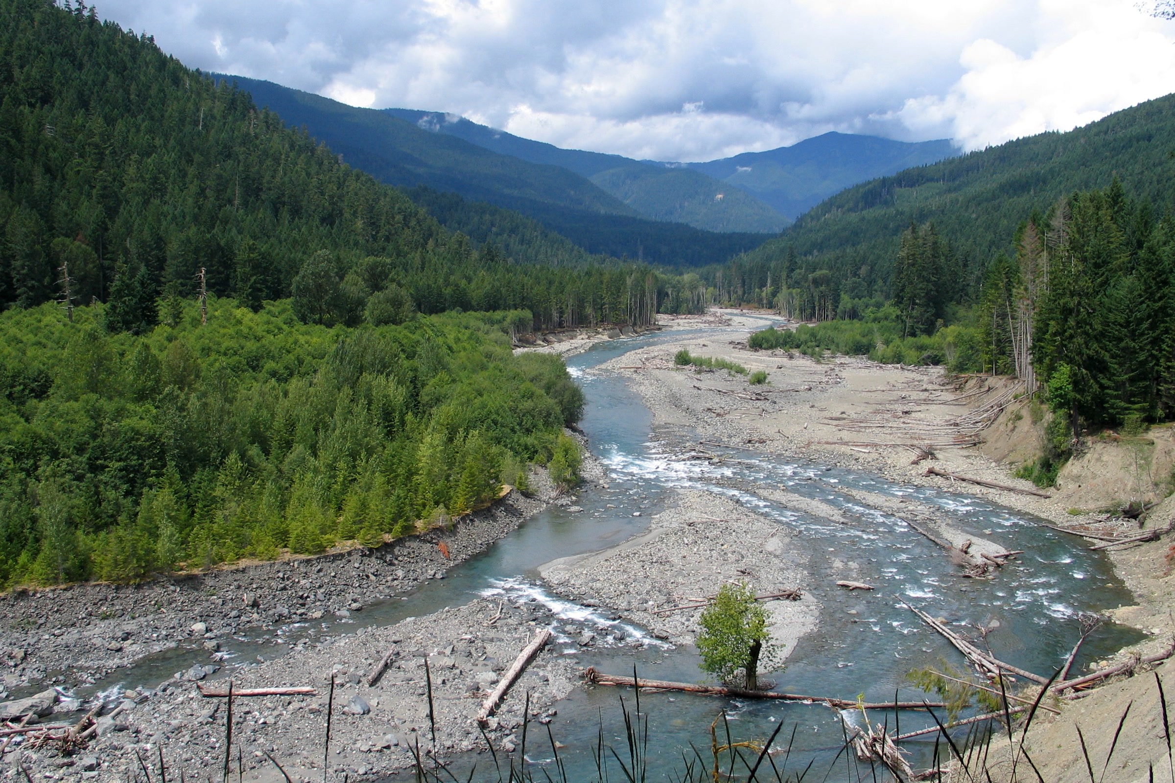
The Washington Trails Association places the Rica Canyon spur about 1.2 miles from Whiskey Bend; it is the way down to Goblins Gate, where the river squeezes through a narrow rock gap. A spur to Krause Bottom follows at about 1.6 miles, and a historic log cabin stands at a three way junction at about 1.8 miles.
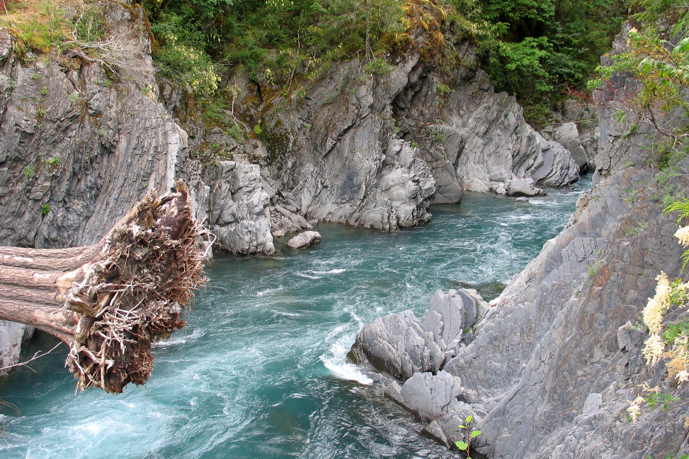
The park lists campsites at Humes Ranch and Krause Bottom. Use established sites, store food in a park approved bear canister, and treat all water; there are no toilets. Use only existing fire rings with dead and down wood.
Going deeper on the Elwha River Trail
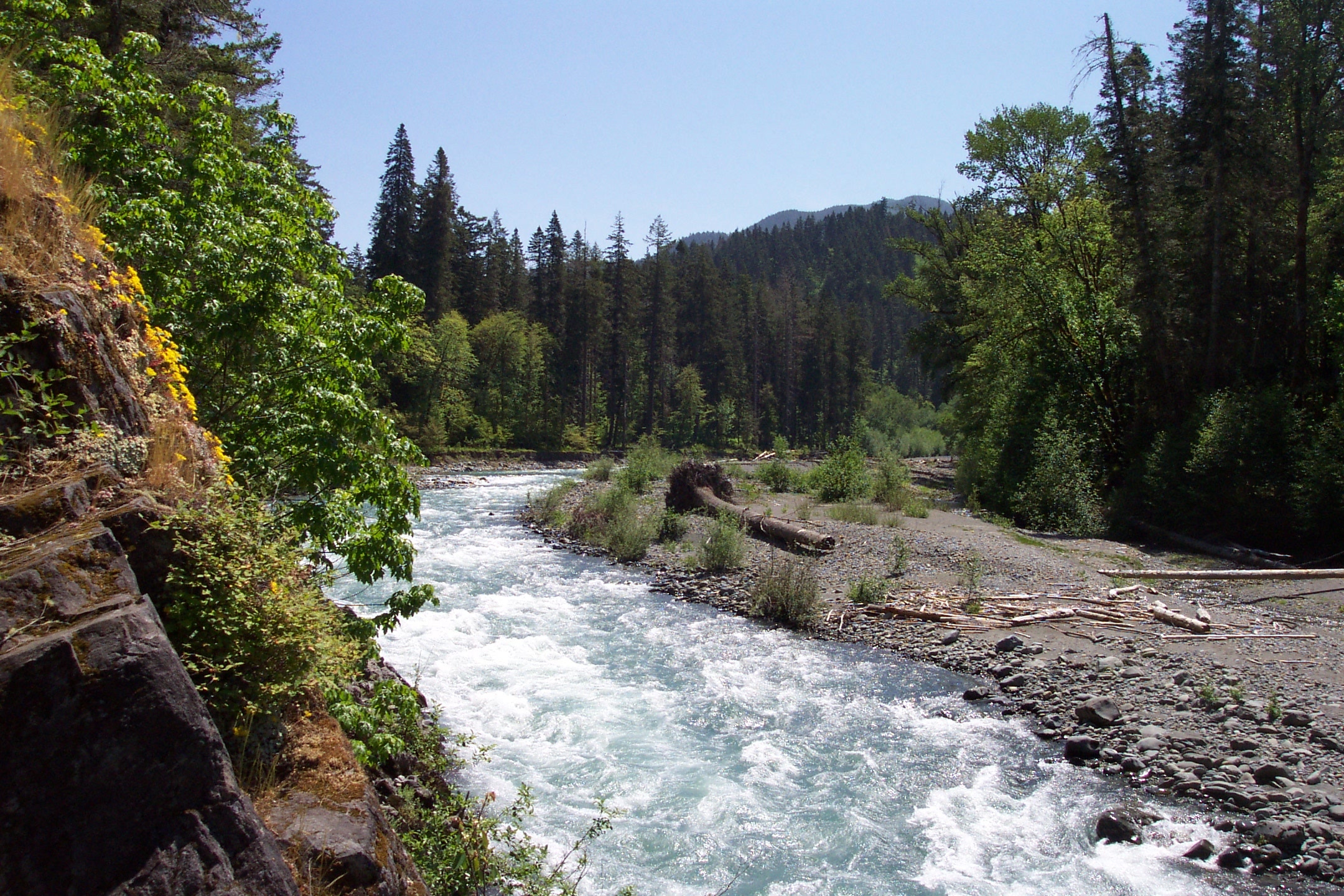
Past the Humes Ranch turnoff, the Elwha River Trail climbs at a moderate grade through lowland and montane forest. The park lists camps at Lillian River, Mary’s Falls, Canyon Camp, Elkhorn, Hayes River Guard Station, Camp Wilder and Chicago Camp. Most have pit toilets; elsewhere, bury waste 6 to 8 inches deep and 200 feet from water and camps.
Bear canisters are required, and campfires are not allowed above 3,500 feet. You must ford the Elwha at Chicago Camp to reach Low Divide, and snow may linger past Chicago Camp into July. Our Olympic National Park wilderness permits guide explains how to book a trip.
Trail conditions as of October 2026
- The trail is cleared of downed trees to Hayes River Camp.
- About 45 trees are down between Hayes River and Chicago Camp, with fire damaged stretches.
- A landslide is undercutting a 20 foot section about half a mile south of the Hayes River junction.
- Creek crossings can be hard or impossible from winter through early summer and after heavy rain.
Conditions change often, so check the NPS page before you go. Our hiking safety in Olympic National Park guide covers river crossings.

Boulder Creek and Olympic Hot Springs
The other road end leads to the Boulder Creek Trail. The park says bikes are not allowed past the Boulder Creek Trailhead, so you walk the last 2.4 miles to Olympic Hot Springs. A year round burn ban covers Boulder Creek Campground and the hot springs, and there have been reports of a possibly habituated bear near the camp, so keep every scrap of food secured.
The restored river from the trail
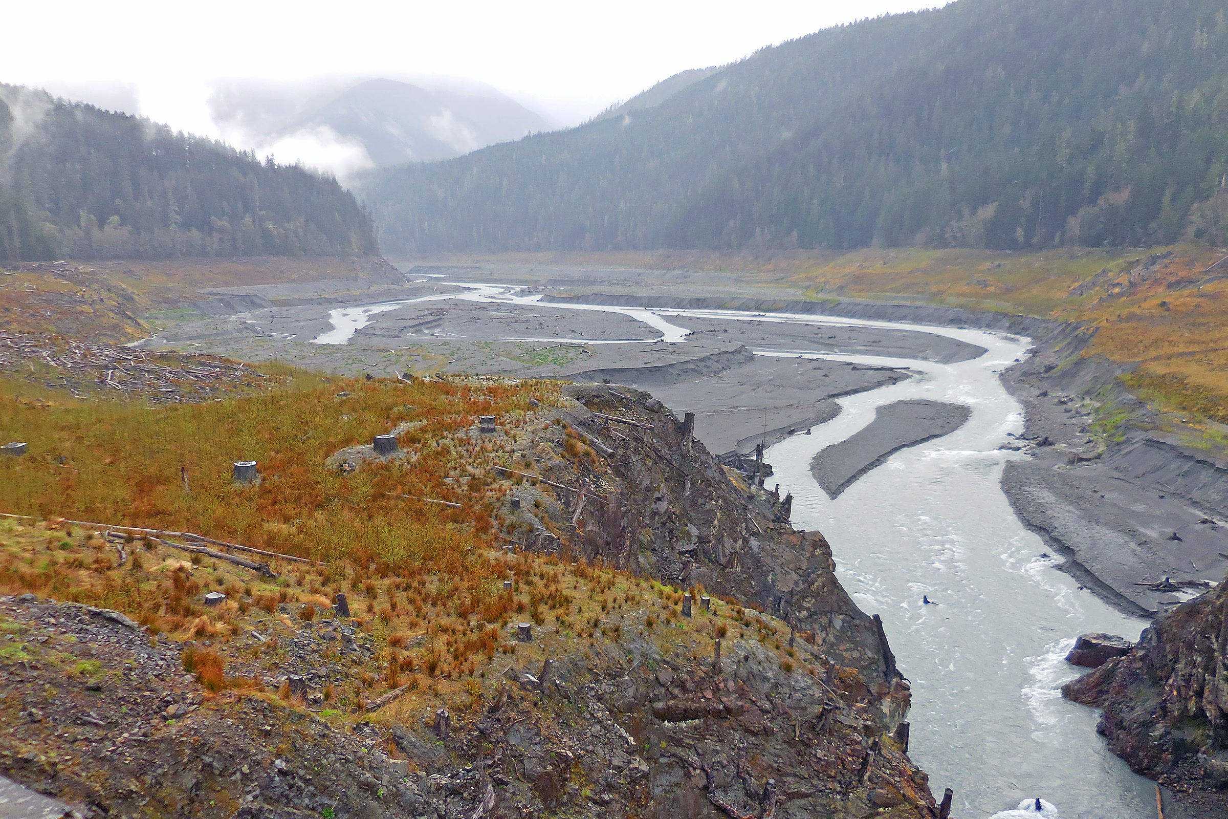
Both Elwha dams came out between 2011 and 2014, and our Elwha River dam removal article tells that story. On the trail you walk beside the result. The U.S. Geological Survey reports that salmon have begun to recolonize habitat upstream of both former dam sites and are spawning again inside the park.
The park has found Chinook nests 58 kilometres from the ocean, near the Godkin Creek confluence, far up the valley. In September you can watch spawning in the stretch between the two former dam sites. Nests can be up to 10 feet across, so never wade through them; our guide to salmon runs in Olympic National Park has more viewing tips.
How Friends of Olympic National Park helps
We are Friends of Olympic National Park (FONP), a volunteer led friends group in Port Angeles. We weren’t part of the Elwha restoration, but our volunteers care for the Heart O’ the Forest Trail and tend native plants at the Visitor Center. A gift helps that work continue, so please consider a way to support Olympic National Park.
Frequently asked questions
Can you drive to Whiskey Bend?
Not as of October 2026. Olympic Hot Springs Road is closed to vehicles at the Madison Falls parking area because of a washout. You can walk, bike or ride a horse the 6.9 miles of road to the Whiskey Bend Trailhead.
How long is the Elwha River Trail?
The park lists 28.4 miles from Whiskey Bend to Low Divide, climbing from 1,198 to 3,602 feet. Humes Ranch, 2.5 miles in, makes a shorter goal.
How far is Humes Ranch from Whiskey Bend?
The park lists 2.5 miles to Humes Ranch. The loop through Geyser Valley, Krause Bottom and Rica Canyon is 4.3 miles, plus the road walk from Madison Falls while the road is closed.
Can I bring my dog on the Elwha trails?
Leashed pets may use the closed Olympic Hot Springs Road beyond Madison Falls, but pets are not allowed on the park’s wilderness trails, including the Elwha River Trail.
Can you fish in the Elwha River?
No. As of October 2026 the Elwha River and its tributaries are closed to fishing.
Leave a Reply