

King tides on the Olympic Coast push the Pacific higher up the beach than at almost any other time of year. Water reaches the drift logs and the foot of the bluffs. They are worth seeing, and they are also a glimpse of the future. Here is what king tides are, when they come, and how to watch them safely.
Quick answer
What are king tides on the Olympic Coast?
King tides are the highest tides of the year. NOAA explains that higher tides come near a new or full moon and when the Moon is closest to Earth. In Washington they usually arrive in winter. On the Olympic Coast, stay off logs and away from bluffs, and check NOAA tide predictions first.
- “King tide” is a popular term, not a scientific one
- Washington Ecology calls them a preview of sea level rise
- A storm on a king tide makes flooding much worse
- Anyone can share photos with the Washington King Tides program
What king tides are
NOAA’s National Ocean Service explains king tides as a non scientific term people use for exceptionally high tides. Tides are driven by the pull of the Moon and the Sun. Higher than normal tides typically come around a new or full moon, and when the Moon is at perigee, its closest point to Earth.
The Washington Department of Ecology puts it the same way: king tides happen when astronomical events amplify the usual pull, such as the Moon being closest to Earth and lined up with the Sun. No storm is needed: Washington Sea Grant notes that king tides alone can flood low lying areas.
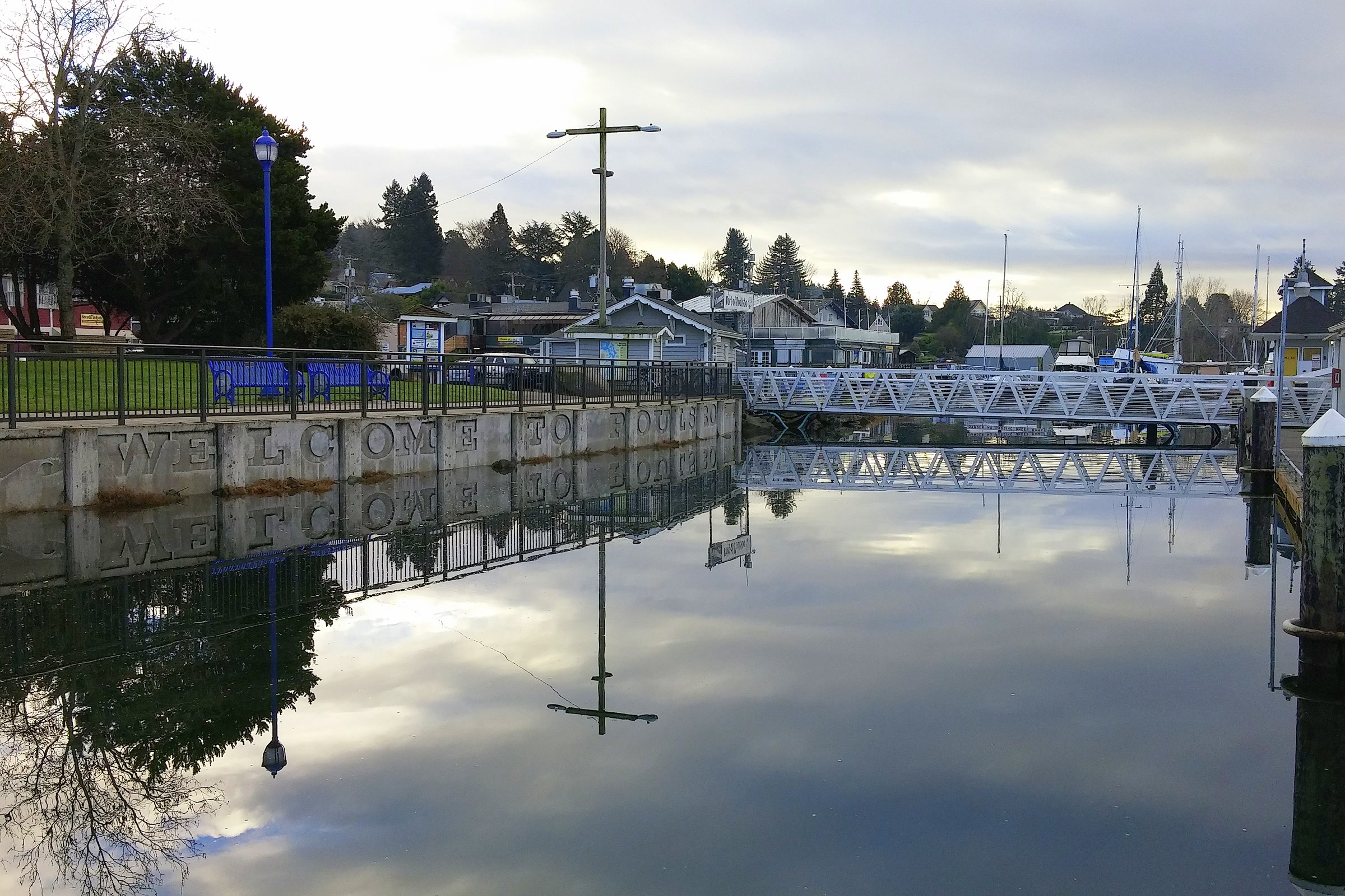
King tide terms compared
| Term | What it means | Source |
|---|---|---|
| King tide | A popular name for exceptionally high tides | NOAA |
| Perigee | The Moon at its closest point to Earth, which raises tides | NOAA |
| Perigean spring tide | A new or full moon at perigee; typically 6 to 8 times a year | NOAA |
| Storm on a high tide | Onshore winds and low pressure push water higher still | NOAA, Ecology |
NOAA says that during a perigean spring tide, it is not uncommon for high tides to run more than a foot above a typical spring tide. These tides alone rarely cause major flooding. If a coastal storm arrives at the same time, though, NOAA warns flooding could be significantly worse than it otherwise would be.
When king tides happen in Washington
Washington Sea Grant calls king tides an annual feature of Washington winters. Ecology has said they usually come in late December and early January, can last several days, and can run from a few inches to several feet above the normal tide.
For exact dates, check NOAA predictions. The NOAA Tides and Currents station at La Push, Quillayute River, covers the north coast near Rialto Beach. Our guide to Olympic Coast tides and hiking safety shows how to read the heights and times.

Why the highest tides matter: a preview of sea level rise
Ecology frames king tides as a window into the future. In a 2023 article on king tides and sea level rise, it said sea level in Seattle has risen about eight inches over the past century, and that today’s king tides will become everyday high tides in the future.
The same article said Washington’s coastal areas are likely to see 12 to 34 inches of sea level rise by 2100, with the amount in each place shaped by whether the land itself is rising or sinking. It also described how December 2022 king tides, arriving with a strong storm, low pressure and onshore winds, flooded parts of the state’s shoreline.
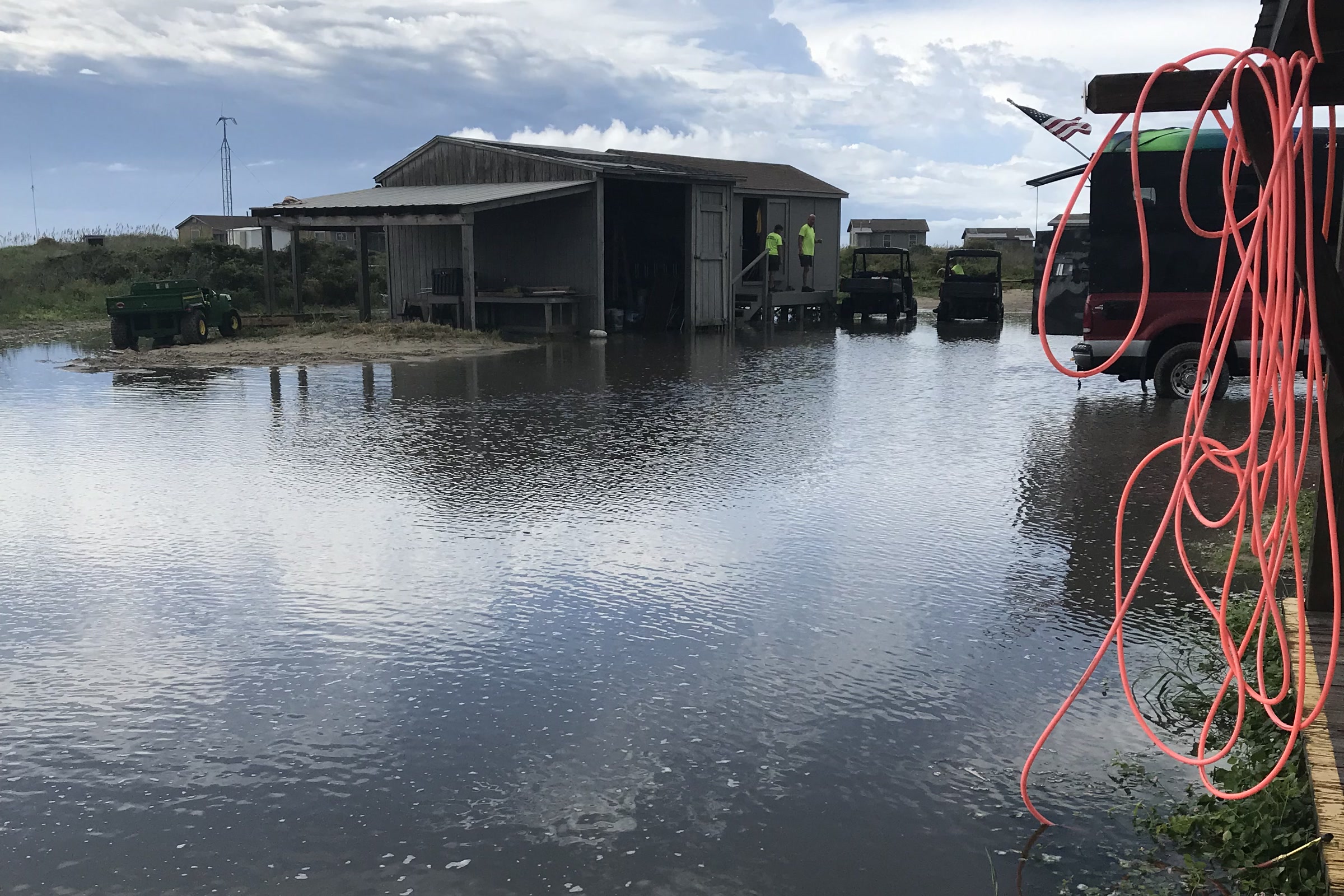
What it means for the park’s coast
The park has already seen what very high water can do. In March 2024 it removed ten Kalaloch cabins that stood within five meters of the bluff edge, after more than four meters of bluff slid away in some areas that winter. The park named king tides, strong winter storms and freeze and thaw cycles as the drivers, acting on a bluff of loose sand, gravel and stone.

Our page on ocean acidification on the Olympic Coast covers another way the water is changing.
The Washington King Tides photo project
Washington King Tides is run by Washington Sea Grant and the Department of Ecology. They invite residents and visitors to photograph high water at familiar places and upload the pictures through the MyCoast website or app. Ecology says the photos help scientists and planners understand flooding, and build a record of how the shore changes.
- Shoot at the highest point of the tide.
- Frame a fixed landmark, such as a seawall, bridge, road or building, so the water level can be measured.
- Ecology has asked people to leave other people out of their photos.
- Note the date, time and place, then upload.
Staying safe on the park’s beaches during very high tides
The park warns that strong winds or storms can raise tides well above the prediction, and that some coastal points can stay impassable through daylight for several days at certain times of year.

- Stay off the logs. The park says waves can roll and tumble driftwood logs, and asks visitors not to play on them, especially when the tide is high.
- Keep away from bluff edges and slopes. At Kalaloch the bank is loose and has collapsed in winter.
- Don’t round headlands near high tide. Plan wilderness beach hikes around the low tides, and allow a margin.
- Never turn your back on the ocean. Sea Grant and Ecology also ask people to mind slippery surfaces and obey signs and guard rails.

King tides and tide pools don’t mix: the pools are deep under water at high tide. Save exploring for a low tide and read our guide to Olympic National Park tide pools first. As of October 2026, check the NPS alerts and conditions page before you go, since storms can close coastal roads and campgrounds.
How Friends of Olympic National Park helps
We are Friends of Olympic National Park (FONP), a volunteer led friends group in Port Angeles. Our volunteers join beach cleanups in Olympic National Park, including a spring coastal cleanup in the Kalaloch area. If you love this shoreline, see our volunteer opportunities and come help care for it.
Frequently asked questions
What causes a king tide?
NOAA says higher than normal tides come around a new or full moon and when the Moon is at perigee, its closest point to Earth. King tide is a popular name for these exceptionally high tides.
When are king tides in Washington?
King tides are an annual feature of Washington winters. Ecology has said they usually come in late December and early January. The dates change every year, so check NOAA tide predictions.
Are king tides dangerous on the Olympic Coast?
They can be. Very high water leaves less beach, waves can roll heavy drift logs, and storms can push tides above the prediction. Stay off logs, keep away from bluff edges and never turn your back on the ocean.
Why do king tides matter for sea level rise?
The Washington Department of Ecology says today’s king tides show what everyday high tides could look like in the future as sea level rises along the coast.
How can I share king tide photos in Washington?
Upload them to the Washington King Tides program, run by Washington Sea Grant and Ecology, through the MyCoast website or app. Photograph a fixed landmark at the highest point of the tide.
Leave a Reply