

The Dosewallips River Trail is one of the long routes into the heart of Olympic National Park from the east. It follows the river from the old Dosewallips Campground through ancient forest and open meadows to Dose Meadows and Hayden Pass. First, though, you walk a closed road.
Quick answer
How long is the Dosewallips River Trail?
The park lists the Dosewallips River Trail at 14.9 miles from the old Dose Ranger Station to Hayden Pass, at 5,847 feet. As of October 2026 the Dosewallips Road is washed out outside the park, which adds 6.5 miles of walking each way. Camps include Dose Forks, Deception Creek, Bear Camp and Dose Meadows.
- 14.9 miles to Hayden Pass, the park says
- Road washout adds 6.5 miles of walking
- Hayden Pass usually melts out mid July at the earliest
- Bear canisters required; no fires above 3,500 feet
The Dosewallips Road washout
The Dosewallips Road leaves US 101 at Brinnon, on Hood Canal. The Forest Service says its Dosewallips Road Washout project began after Forest Service Road 2610 washed out in a January 2002 storm. Its project page says the environmental analysis on restoring access is complete.
As of October 2026, the park’s road conditions page lists the road as closed to vehicles because of a washout outside the park boundary, 6.5 miles from the campground. It is open to walkers and bicycles only. Check the NPS page before you go.
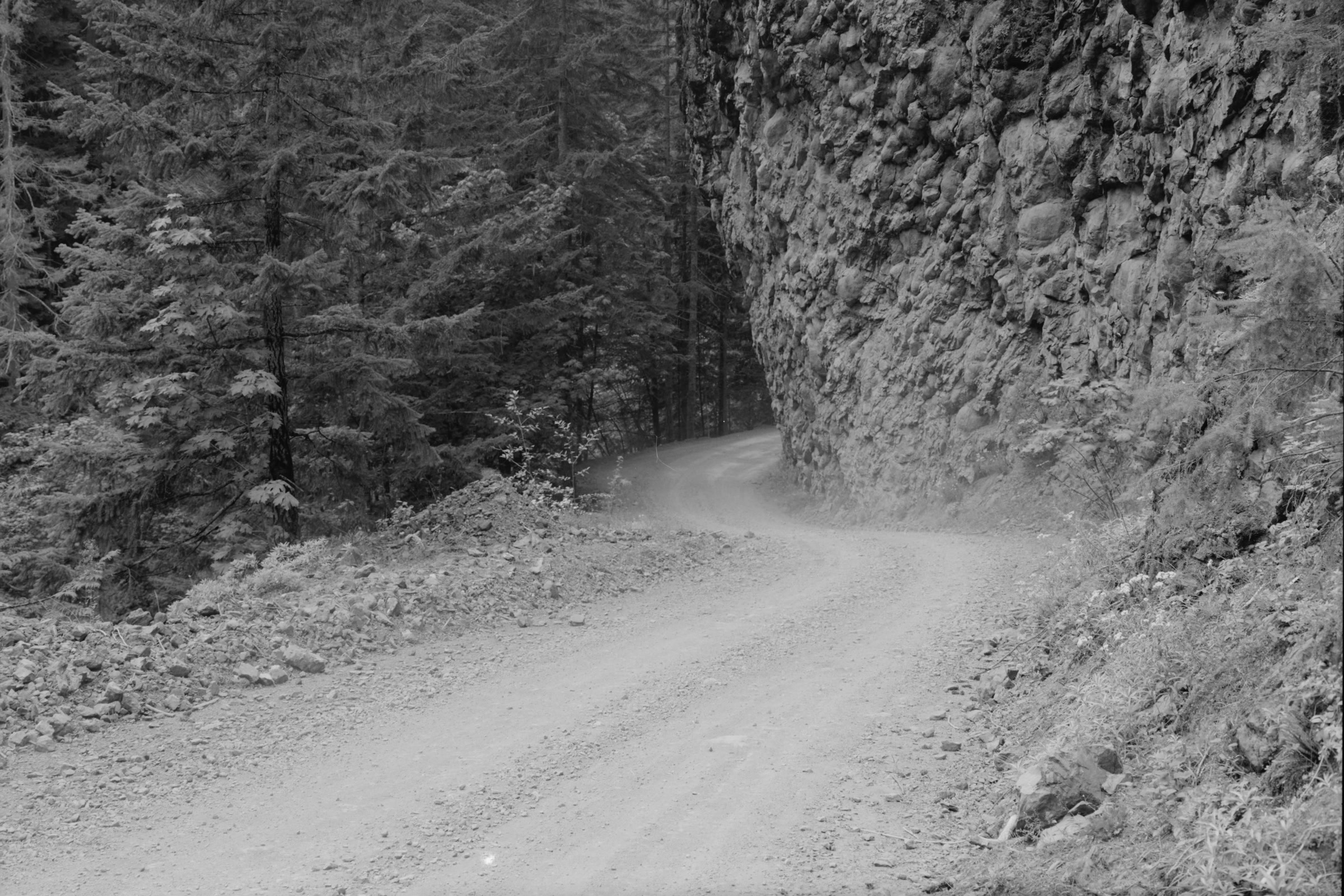
Walking the old road
The Washington Trails Association (WTA) describes the road walk. Drive 8.5 miles from US 101 to the vehicle road end, then walk or ride the old roadbed, as our guide to biking in Olympic National Park explains:
- Mile 1: the old washout. Hikers may follow the river if it looks safe; horses and bikes take switchbacks over the hill.
- Mile 2.7: Elkhorn Campground, with dispersed camping and no facilities.
- Mile 4: the road enters the area burned by the 2009 Constance fire.
- Mile 4.9: the Olympic National Park boundary, at an old orange gate.
- Mile 6.5: the old Dosewallips Campground and ranger station, where the trail begins.
So the first stretch is Olympic National Forest land, and the rest is park. Our guide to Olympic National Park vs the national forest explains how the rules differ. WTA’s two Dosewallips pages disagree on whether a parking pass is needed at the road end, so check with Olympic National Forest before you go. The steep Lake Constance Trail leaves this same road.
Dosewallips River Trail at a glance
Both the park and WTA measure from the old campground, not the road end.
| Detail | NPS | WTA |
|---|---|---|
| To Hayden Pass | 14.9 miles | 15.0 miles one way |
| Elevation gain | 4,250 feet | 4,800 feet |
| High point | 5,847 feet | 5,847 feet |
| Road walk | Adds 6.5 miles | 6.5 miles, climbing 1,200 feet |
| Difficulty | Moderate | Hard |

Mile by mile to Dose Meadows
The park calls it a well maintained, moderate trail. WTA’s Main Fork page gives these distances from the old campground:
- 1.4 miles, Dose Forks: the junction where the West Fork trail splits off. Stay right.
- 2.5 miles: the Constance Pass Trail. Stay left, high above the river, with a view of Calypso Falls at Upper Twin Creek.
- 7.8 miles, Deception Creek: the largest camp. WTA warns its glacial water is silty and can clog filters.
- 9.2 miles: the Gray Wolf junction, where the trail leaves the forest for meadows and Mount Mystery and Mount Deception rise behind you.
- 10.9 miles, Bear Camp: a few sites with a shelter and wide views.
- 12.6 miles, Dose Meadows: a camp at the junction for Lost and Cameron passes.

Dose Meadows
WTA notes that Dose Meadows is buggier than Bear Camp and has no shelter, but many parties stay there for its spot at the junction. From the meadows, the park lists the Lost Pass Primitive Trail at 0.9 mile, climbing from 4,450 to 6,200 feet. Expect snow there into early summer in a typical year.

Hayden Pass and the way to the Elwha
Above Dose Meadows the trail crosses a bridge over the source of the Dosewallips and climbs to Hayden Pass. The park says the pass typically melts out by the middle of July at the earliest. WTA adds that a snow cornice often lingers near the top and usually disappears by August.
From the pass, WTA says you can see Mount Olympus, the Bailey Range and Mount Anderson. The Hayden Pass Trail continues 8.3 miles down to the Elwha River Trail. As of October 2026, the park’s trail conditions page reports an eroded, exposed section west of the pass and many blowdowns left from the 2016 Hayes Fire.
The West Fork to Anderson Pass
At Dose Forks the West Fork Dosewallips River Trail heads for Anderson Pass. The park lists it at 9.1 miles from Dose Forks, or 16 miles from the road end, rising from 1,600 to 4,464 feet. Camps include Big Timber, Diamond Meadows, Honeymoon Meadows and Camp Siberia.
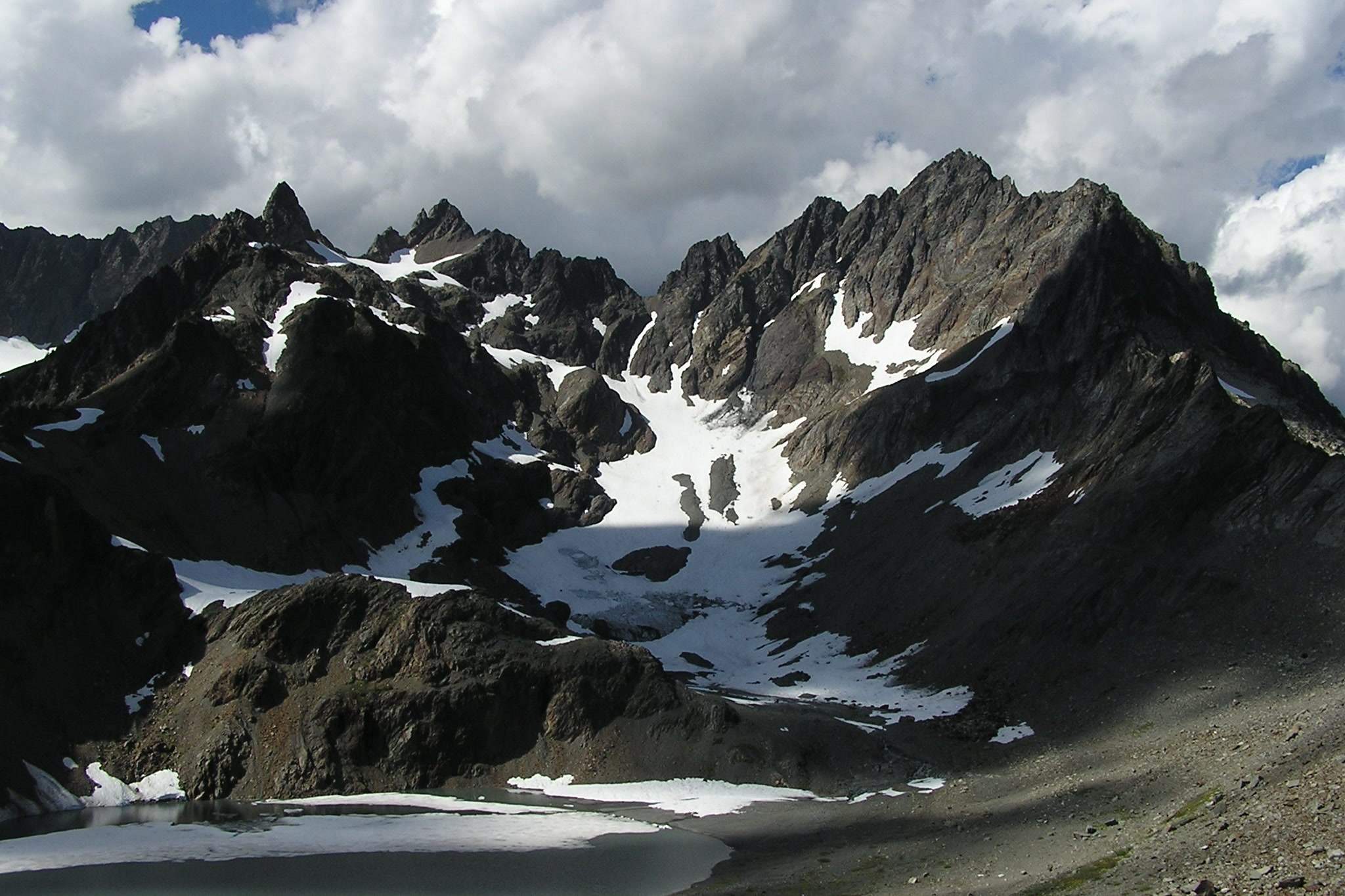
The park warns that the footbridge just above Diamond Meadow is out. The crossing of the West Fork at Honeymoon Meadows may be hazardous in spring or after heavy rain, and there is very little water at Anderson Pass. For why these rivers rise so fast, see our guide to atmospheric rivers on the Olympic Peninsula.
Permits and rules
These rules come from the park’s trail and wilderness pages, as of October 2026. Check the NPS Dosewallips River Trail page before you go.
- Permits: overnight trips need a wilderness permit booked in advance on Recreation.gov. Our wilderness permits guide explains how.
- Food: bear canisters are required.
- Fires: prohibited above 3,500 feet.
- Bikes: allowed on the washed out road, but not on the trails.
- Pets: not allowed on the trails; ask the park about the road.
- Stock: allowed on the Dosewallips River Trail.
- Wildlife: stay at least 50 yards away.

The park also asks hikers to carry the Ten Essentials and to know map and compass navigation, because snow may cover the higher reaches in any season. When the route is snow covered, ice axe and self arrest skills are needed. Our hiking safety guide covers trip plans and weather.
How Friends of Olympic National Park helps
We are Friends of Olympic National Park (FONP), a volunteer led friends group based in Port Angeles. We don’t maintain the Dosewallips trails, but our adopt-a-trail crew cares for the Heart O’ the Forest Trail. If long wild valleys like this one matter to you, see our volunteer opportunities.
Frequently asked questions
Is the Dosewallips Road open?
Not to cars. As of October 2026 the park lists the Dosewallips Road as closed to vehicles because of a washout outside the park, 6.5 miles from the campground. Walkers and bicycles may use it. Check the NPS road conditions page before you go.
How long is the Dosewallips River Trail?
The park lists 14.9 miles from the old Dose Ranger Station to Hayden Pass, and WTA gives 15.0 miles. The road washout adds 6.5 miles of walking each way.
How far is Dose Meadows?
WTA puts Dose Meadows 12.6 miles from the trailhead at the old Dosewallips Campground. Add the 6.5 mile road walk from the washout to reach that trailhead.
Can you bike the Dosewallips Road?
Yes. The park allows bicycles on the washed out road, which now works as a trail, but not on the trails beyond. WTA says bikes and dogs may go as far as the ranger station at Dosewallips Campground.
Do I need a permit to camp on the Dosewallips River Trail?
Yes. Every overnight stay in the park’s wilderness needs a wilderness permit booked in advance on Recreation.gov, and bear canisters are required on this trail.
Leave a Reply